
1954 Map of Bethel A-4
USGS Topo · Published 1965About this map
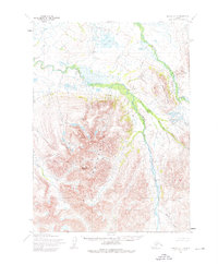
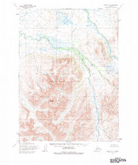
Eek Mountains dominate the southern landscape of this 1954 topographic survey, where high summits like Sawtooth Mountain and Breast Mountain rise above a complex network of glacial drainage. The terrain is defined by the sharp divide between these uplands and the low-lying wetlands to the north, which are dominated by Eek Lake and the meandering braids of the Eek River. The absence of roads or permanent structures reflects the wilderness character of the region during the mid-1950s, a period when the Army Map Service utilized aerial photography taken in 1957 to chart these remote reaches of the Yukon-Kuskokwim Delta area. Waterways like the Kwethluk River and smaller tributaries such as Kapon Creek and Rainy Creek provide the primary geographic markers across an environment primarily used for seasonal hunting and subsistence by local populations.
Find a feature on this map
9 named features on this map. Tap any name to fly to it.
Don’t see what you’re looking for? This feature index may not catch every label — zoom into the map to look around manually.
Map Details
Editions of this 1954 Bethel A-4 Map
3 editions found
Other maps of this area

1950 · Bethel
USGS Topo · 1:250,000

1951 · Goodnews
USGS Topo · 1:250,000

1954 · Bethel A-5
USGS Topo · 1:63,360

1954 · Bethel B-3
USGS Topo · 1:63,360

1954 · Bethel B-4
USGS Topo · 1:63,360

1954 · Goodnews D-4
USGS Topo · 1:63,360

1954 · Bethel B-5
USGS Topo · 1:63,360

1954 · Goodnews D-5
USGS Topo · 1:63,360

1979 · Bethel A-3
USGS Topo · 1:63,360

1979 · Goodnews Bay D-3
USGS Topo · 1:63,360