
1954 Map of Bethel B-3
USGS Topo · Published 1965About this map
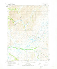
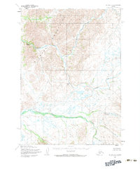
The Kilbuck Mountains dominate this 1950s interior landscape, where the Kisaralik River carves a winding path through the high country. This mid-century survey captures a network of tributaries that defined the drainage patterns of the region long before any permanent roads or modern development reached this part of the territory. Notable water features like Lower Falls and Upper Falls mark the river’s descent, while numerous smaller flows such as Solomon Creek and Quicksilver Creek feed into the primary river system.
Find a feature on this map
10 named features on this map. Tap any name to fly to it.
Don’t see what you’re looking for? This feature index may not catch every label — zoom into the map to look around manually.
Map Details
Editions of this 1954 Bethel B-3 Map
3 editions found
Other maps of this area

1950 · Bethel
USGS Topo · 1:250,000

1954 · Bethel C-4
USGS Topo · 1:63,360

1954 · Bethel C-3
USGS Topo · 1:63,360

1954 · Bethel A-4
USGS Topo · 1:63,360

1954 · Bethel B-4
USGS Topo · 1:63,360

1979 · Bethel A-3
USGS Topo · 1:63,360

1979 · Bethel A-2
USGS Topo · 1:63,360

1979 · Bethel C-2
USGS Topo · 1:63,360

1979 · Bethel B-2
USGS Topo · 1:63,360

1980 · Bethel
USGS Topo · 1:250,000