
1954 Map of Bethel C-3
USGS Topo · Published 1965About this map
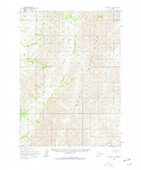
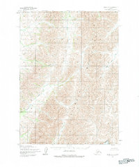
The Kilbuck Mountains dominate this 1950s study, defining a landscape shaped by narrow drainage systems and high-altitude terrain. The map captures the complex hydrology of the region as seen in the mid-20th century, with significant waterways like Karl Creek and Quartz Creek carving through the mountain passes. The drainage pattern is further defined by Clear Creek and Swift Creek, which serve as the primary topographical markers in this unpopulated expanse. Published by the Geological Survey and based on photography from the late 1950s, this document preserves the land as it was before modern developments, showing a wilderness defined solely by its natural watersheds and mountain peaks.
Find a feature on this map
5 named features on this map. Tap any name to fly to it.
Don’t see what you’re looking for? This feature index may not catch every label — zoom into the map to look around manually.
Map Details
Editions of this 1954 Bethel C-3 Map
3 editions found
Other maps of this area

1950 · Bethel
USGS Topo · 1:250,000

1954 · Bethel D-4
USGS Topo · 1:63,360

1954 · Bethel C-4
USGS Topo · 1:63,360

1954 · Bethel D-3
USGS Topo · 1:63,360

1954 · Bethel B-3
USGS Topo · 1:63,360

1954 · Bethel B-4
USGS Topo · 1:63,360

1979 · Bethel D-2
USGS Topo · 1:63,360

1979 · Bethel C-2
USGS Topo · 1:63,360

1979 · Bethel B-2
USGS Topo · 1:63,360

1980 · Bethel
USGS Topo · 1:250,000