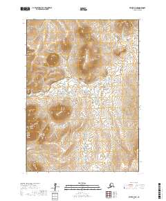
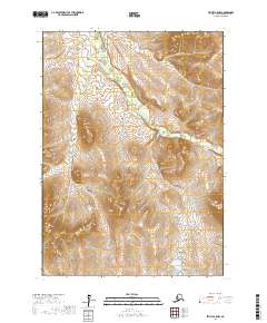
2017 Map of Bethel B-5 NE
USGS Topo · Published 2017About this map
Akulikukak River winds through the interior landscape of the Bethel Census Area, forming a complex drainage pattern across this subarctic terrain. The 2017 survey reveals an environment defined by water and elevation, where the Little Kasigluk River courses through the northern reaches of the quadrangle. The lack of roads or established settlements on the sheet reflects the preservation of a traditional natural landscape within the Yukon-Kuskokwim Delta region. The map’s detailed contour work documents a series of unnamed topographic rises and hills that punctuate the low-lying wetlands, illustrating the subtle but vital geographical features that define navigation and subsistence patterns in this part of Alaska.
Find a feature on this map
8 named features on this map. Tap any name to fly to it.
Don’t see what you’re looking for? This feature index may not catch every label — zoom into the map to look around manually.
Map Details
Editions of this 2017 Bethel B-5 NE Map
This is the sole edition of this map. No revisions or reprints were ever made.
Other maps of this area

1950 · Bethel
USGS Topo · 1:250,000

1954 · Bethel C-5
USGS Topo · 1:63,360

1954 · Bethel C-4
USGS Topo · 1:63,360

1954 · Bethel B-4
USGS Topo · 1:63,360

1954 · Bethel B-5
USGS Topo · 1:63,360

1980 · Bethel
USGS Topo · 1:250,000
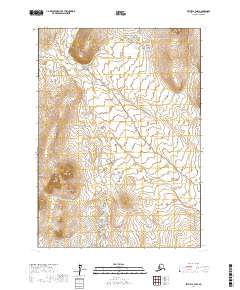
2017 · Bethel B-4 NW
USGS Topo · 1:25,000
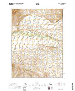
2017 · Bethel B-5 SE
USGS Topo · 1:25,000
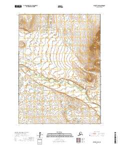
2017 · Bethel B-4 SW
USGS Topo · 1:25,000
2017 · Bethel B-5 NW
USGS Topo · 1:25,000