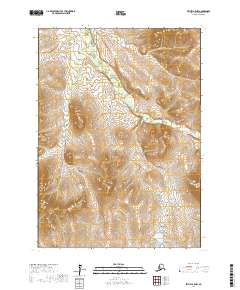
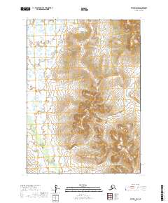
2017 Map of Bethel B-5 NW
USGS Topo · Published 2017About this map
Akulikutak River meanders across the eastern portion of this 2017 topographic survey in the Bethel region of Alaska. The landscape is defined by complex hydrography and wetland systems, where drainage patterns are anchored by the Coral Cr in the northwest. This modern digital survey utilizes high-resolution data from the National Hydrography Dataset and National Elevation Dataset to delineate the subtle topographic variations of the tundra. The map provides precise sectional and township boundaries, including t4n r66w and t5n r65w, which are essential for identifying specific land tracts within the public land survey system. While largely unpopulated by named settlements, the intricate waterway networks and elevation contours reveal the natural structure of this remote delta environment.
Find a feature on this map
8 named features on this map. Tap any name to fly to it.
Don’t see what you’re looking for? This feature index may not catch every label — zoom into the map to look around manually.
Map Details
Editions of this 2017 Bethel B-5 NW Map
This is the sole edition of this map. No revisions or reprints were ever made.
Other maps of this area

1950 · Bethel
USGS Topo · 1:250,000

1954 · Bethel B-6
USGS Topo · 1:63,360

1954 · Bethel C-6
USGS Topo · 1:63,360

1954 · Bethel C-5
USGS Topo · 1:63,360

1954 · Bethel B-5
USGS Topo · 1:63,360

1980 · Bethel
USGS Topo · 1:250,000
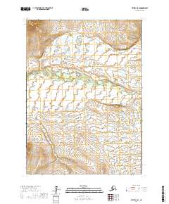
2017 · Bethel B-5 SE
USGS Topo · 1:25,000
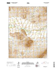
2017 · Bethel B-5 SW
USGS Topo · 1:25,000
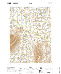
2017 · Bethel C-6 SE
USGS Topo · 1:25,000
2017 · Bethel C-5 SW
USGS Topo · 1:25,000