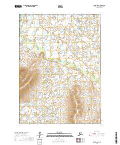
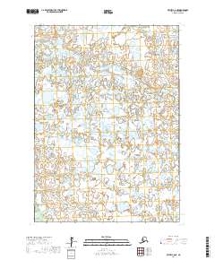
2017 Map of Bethel C-6 SE
USGS Topo · Published 2017About this map
Akulikutaq River meanders across this expansive landscape of the Bethel Census Area, illustrating the complex hydrography of the Alaskan tundra. This region is characterized by a dense network of small lakes and seasonal wetlands that dominate the terrain within Township 6 North, Range 67 West and surrounding areas. The map reveals the subtle elevation changes of the low-lying river valley before the terrain transitions into the more defined ridge systems found in the southern sections of t5n r66w. This 2017 survey by the U.S. Geological Survey provides a precise look at the natural drainage patterns and land divisions in a part of the state where water and land are inextricably linked.
Find a feature on this map
5 named features on this map. Tap any name to fly to it.
Don’t see what you’re looking for? This feature index may not catch every label — zoom into the map to look around manually.
Map Details
Editions of this 2017 Bethel C-6 SE Map
This is the sole edition of this map. No revisions or reprints were ever made.
Other maps of this area

1950 · Bethel
USGS Topo · 1:250,000

1954 · Bethel B-6
USGS Topo · 1:63,360

1954 · Bethel C-6
USGS Topo · 1:63,360

1954 · Bethel C-5
USGS Topo · 1:63,360

1954 · Bethel B-5
USGS Topo · 1:63,360

1980 · Bethel
USGS Topo · 1:250,000
2017 · Bethel C-6 NW
USGS Topo · 1:25,000
2017 · Bethel C-6 SW
USGS Topo · 1:25,000
2017 · Bethel B-6 NW
USGS Topo · 1:25,000
2017 · Bethel C-6 NE
USGS Topo · 1:25,000