
1954 Map of Bethel C-5
USGS Topo · Published 1965About this map
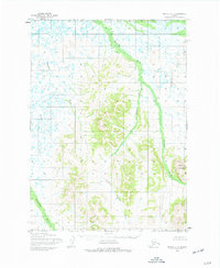
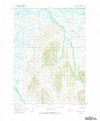
The Kushluk River and its complex network of tributaries define this mid-century Alaskan landscape, captured during the Army Map Service’s surveying efforts in the 1950s. The terrain is dominated by a transition from wetland lowlands to higher elevations, culminating in the prominent Shining Dome. This interior region is characterized by a high density of thaw lakes and ponds in the north, while the southern reaches show the winding paths of the Akulikutak River and Kasiyuluk River. The lack of established roads or trails during this period highlights the remote nature of the territory, where transport was largely restricted to these river corridors. Additional drainage is provided by the Little Kushluk River and Columbia Creek, which snake through the varied elevation contours to join the larger river systems.
Find a feature on this map
6 named features on this map. Tap any name to fly to it.
Don’t see what you’re looking for? This feature index may not catch every label — zoom into the map to look around manually.
Map Details
Editions of this 1954 Bethel C-5 Map
Other maps of this area

1950 · Bethel
USGS Topo · 1:250,000

1954 · Bethel B-6
USGS Topo · 1:63,360

1954 · Bethel D-4
USGS Topo · 1:63,360

1954 · Bethel C-6
USGS Topo · 1:63,360

1954 · Bethel D-6
USGS Topo · 1:63,360

1954 · Bethel C-4
USGS Topo · 1:63,360

1954 · Bethel D-5
USGS Topo · 1:63,360

1954 · Bethel B-4
USGS Topo · 1:63,360

1954 · Bethel B-5
USGS Topo · 1:63,360

1980 · Bethel
USGS Topo · 1:250,000