
1954 Map of Bethel B-6
USGS Topo · Published 1965About this map
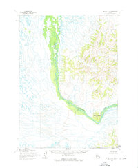
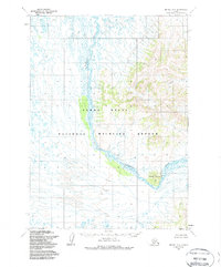
The Kwethluk River carves a winding path through the heart of this southwestern Alaska landscape, marking a sharp transition between the water-saturated lowlands and the rising peaks to the east. These eastern highlands are anchored by the prominent Elbow Mountain, where the river makes a dramatic bend around the southern slopes. Further north in the uplands, Coral Creek flows through the drainages of the Kilbuck Mountains, illustrating the complex hydrology of the Kuskokwim River basin. This survey, based on aerial photography taken in 1957 and field annotated in 1954, reveals a wilderness devoid of roads or permanent structures, where the natural contours of the land and the shifting river channels dictate the geography. The map reflects a period when the Bureau of Land Management was still predetermining unsurveyed land lines for the Seward Meridian, capturing the region in its raw, topographic state.
Find a feature on this map
3 named features on this map. Tap any name to fly to it.
Don’t see what you’re looking for? This feature index may not catch every label — zoom into the map to look around manually.
Map Details
Editions of this 1954 Bethel B-6 Map
3 editions found
Other maps of this area

1950 · Bethel
USGS Topo · 1:250,000

1954 · Bethel C-6
USGS Topo · 1:63,360

1954 · Bethel C-5
USGS Topo · 1:63,360

1954 · Bethel B-7
USGS Topo · 1:63,360

1954 · Bethel A-5
USGS Topo · 1:63,360
1954 · Bethel C-7
USGS Topo · 1:63,360

1954 · Bethel B-5
USGS Topo · 1:63,360

1954 · Bethel A-7
USGS Topo · 1:63,360

1954 · Bethel A-6
USGS Topo · 1:63,360
1964 · Bethel A-6
USGS Topo · 1:63,360