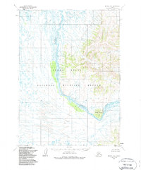
1954 Map of Bethel B-6
USGS Topo · Published 1988About this map
Kwethluk River dominates this portion of the Alaskan wilderness, carving a wide, serpentine path through the lowlands before meeting the complex drainage patterns of the Yukon Delta National Wildlife Refuge. The map reveals a transition from the dense network of wetlands and tundra ponds in the west to the rising terrain of the east, where Elbow Mountain stands as a prominent landmark. This topographic study captures the hydrological character of the region in the mid-1950s, a period when these lands were being meticulously documented by photogrammetric methods from aerial surveys. The inclusion of Coral Creek and various unnamed tributaries illustrates the seasonal water flow and intricate basin architecture that define this interior landscape. These features provide a baseline for understanding the river's historical meanders and the untouched state of the delta before later federal land conservation acts formally established its modern boundaries.
Find a feature on this map
4 named features on this map. Tap any name to fly to it.
Don’t see what you’re looking for? This feature index may not catch every label — zoom into the map to look around manually.
Map Details
Editions of this 1954 Bethel B-6 Map
3 editions found
Other maps of this area

1950 · Bethel
USGS Topo · 1:250,000

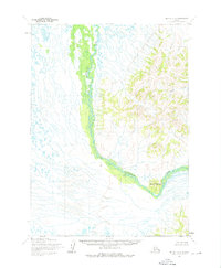
1954 · Bethel B-6
USGS Topo · 1:63,360

1954 · Bethel C-6
USGS Topo · 1:63,360

1954 · Bethel C-5
USGS Topo · 1:63,360

1954 · Bethel B-7
USGS Topo · 1:63,360

1954 · Bethel A-5
USGS Topo · 1:63,360
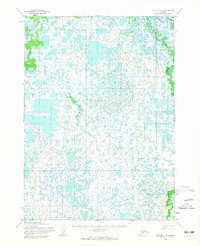
1954 · Bethel C-7
USGS Topo · 1:63,360

1954 · Bethel B-5
USGS Topo · 1:63,360

1954 · Bethel A-7
USGS Topo · 1:63,360

1954 · Bethel A-6
USGS Topo · 1:63,360