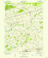
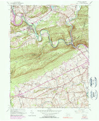
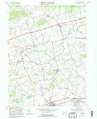
1955 Map of Bethel
USGS Topo · Published 1956About this map
The Berks Co Lebanon Co line divides this mid-century agricultural landscape, where the legacy of Pennsylvania's early transportation infrastructure remains visible. In the south, the Union Canal runs parallel to Tulpehocken Creek, marking a corridor of historical transit that pre-dated the region's mid-century expansion. The map captures a moment when traditional rural settlements like Mount Aetna, Rehrersburg, and Frystown served as local hubs, connected by the growing William Penn Highway. Industrial activity is centered at Millards Quarry near Millardsville, while recreational and social life is evidenced by the Hilltop Park Speedway, Lebanon Valley Golf Course, and religious centers such as Tulpehocken Ch and Salem Ch. The density of named family cemeteries, including the Meyer Cem and Frantz Cem, offers significant detail for genealogical research within the townships of Bethel and Marion.
Find a feature on this map
48 named features on this map. Tap any name to fly to it.
Don’t see what you’re looking for? This feature index may not catch every label — zoom into the map to look around manually.
Map Details
Editions of this 1955 Bethel Map
5 editions found
Historical Maps of Bethel Township Through Time
23 maps found

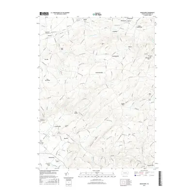
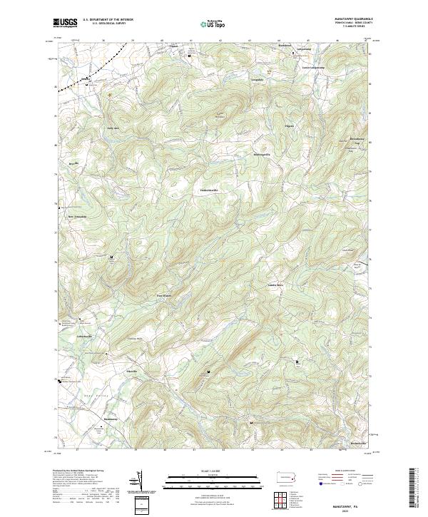
1943 Manatawny
Berks County, PA
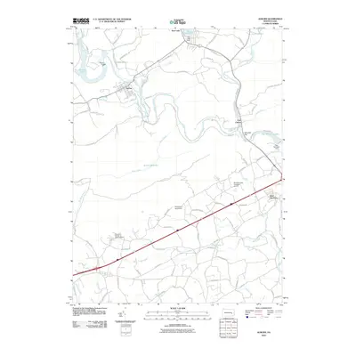
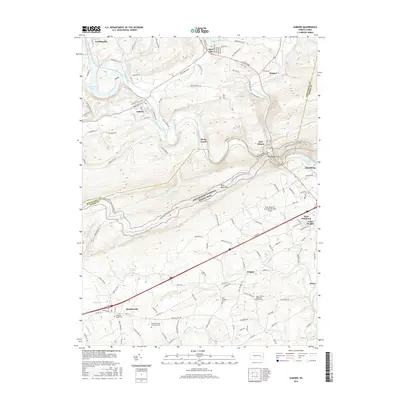
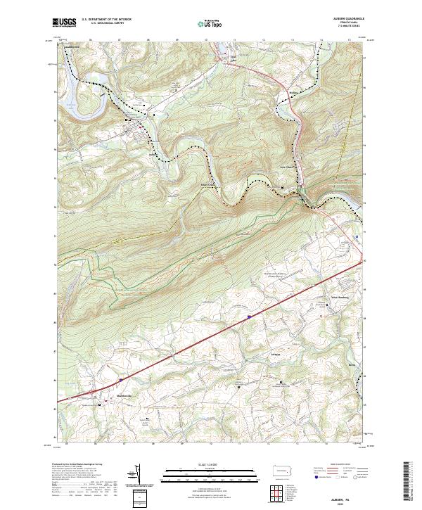
1945 Auburn
Berks County, PA
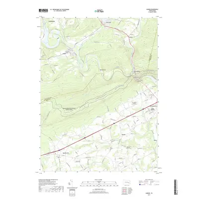
1946 Auburn
Berks County, PA
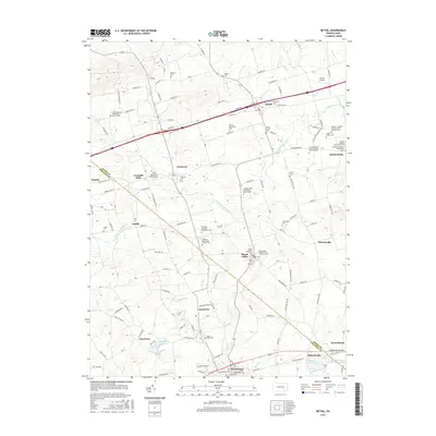
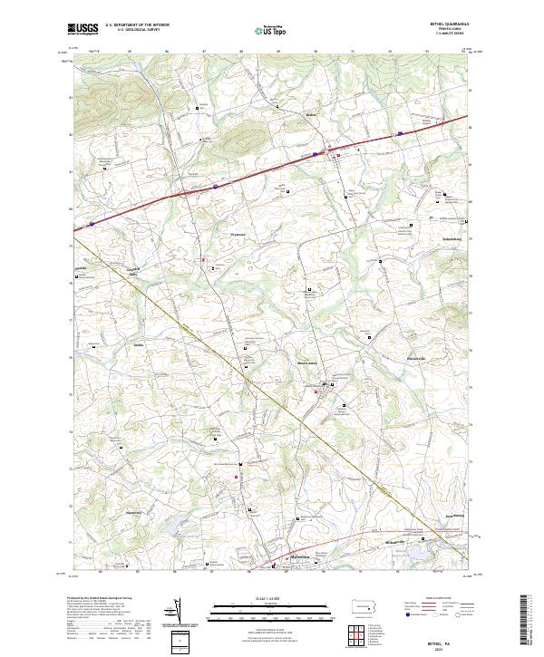
1955 Bethel
Berks County, PA
1957 Manatawny
Berks County, PA
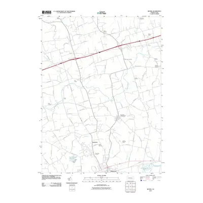
1992 Bethel
Berks County, PA

1999 Auburn
Berks County, PA
1999 Manatawny
Berks County, PA
2010 Auburn
Berks County, PA
2010 Bethel
Berks County, PA
2010 Manatawny
Berks County, PA
2013 Auburn
Berks County, PA
2013 Bethel
Berks County, PA
2013 Manatawny
Berks County, PA
2016 Auburn
Berks County, PA
2016 Bethel
Berks County, PA
2016 Manatawny
Berks County, PA
2019 Auburn
Berks County, PA
2019 Bethel
Berks County, PA

2019 Manatawny
Berks County, PA
2023 Auburn
Berks County, PA
2023 Bethel
Berks County, PA
2023 Manatawny
Berks County, PA
Featured Locations
- Myerstown, PA
- Jackson Township, PA
- Bethel Township, PA
- Millardsville, Jackson Township
- Nacetown, Jackson Township