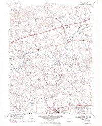
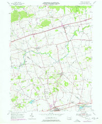
1955 Map of Bethel
USGS Topo · Published 1970About this map
The Little Swatara Creek and Tulpehocken Creek systems anchor this 1955 landscape, where Berks and Lebanon counties meet. The region is defined by a dense network of crossroad villages and rural institutions, from the northern settlement of Bethel to the southern industrial presence at Millards Quarry Pond. Near the base of Swatara Hill, the land supports a variety of community hubs, including the Hilltop Park Speedway and Shikellamy Scout Camp.
Find a feature on this map
54 named features on this map. Tap any name to fly to it.
Don’t see what you’re looking for? This feature index may not catch every label — zoom into the map to look around manually.
Map Details
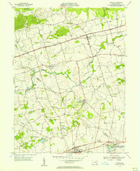
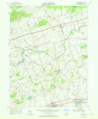
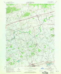
Editions of this 1955 Bethel Map
5 editions found
Other maps of this area

1889 · Pottsville
USGS Topo · 1:62,500

1891 · Pottsville
USGS Topo · 1:62,500

1891 · Lebanon
USGS Topo · 1:62,500

1892 · Pine Grove
USGS Topo · 1:62,500

1893 · Lebanon
USGS Topo · 1:62,500

1899 · Lebanon
USGS Topo · 1:62,500

1902 · Wernersville
USGS Topo · 1:62,500

1943 · Lebanon
USGS Topo · 1:62,500

1943 · Wernersville
USGS Topo · 1:62,500

1945 · Friedensburg
USGS Topo · 1:24,000
Featured Places
- Bethel Township, PA
- Myerstown, PA
- Jackson Township, PA
- Millardsville, Jackson Township
- Nacetown, Jackson Township