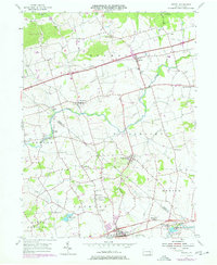
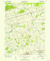
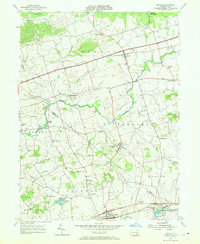
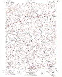
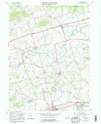
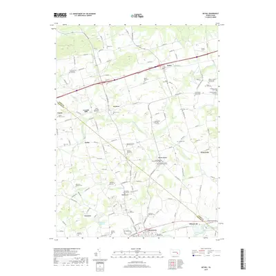
1955 Map of Bethel
USGS Topo · Published 1977About this map
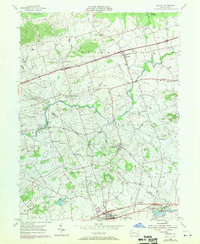
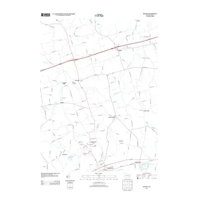
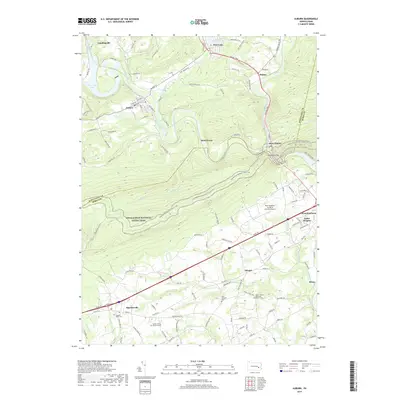
Swatara Creek and its tributary, Little Swatara Creek, define the drainage of this Pennsylvania landscape as it appeared in the mid-1950s with later updates. The border between Berks and Lebanon counties bisects the terrain, showing a transition from the agricultural lowlands of Tulpehocken and Marion townships toward the wooded hillsides in the north. Evidence of the region's 19th-century industrial history is preserved in the remnants of the Union Canal near Millardsville, running parallel to Tulpehocken Creek. Local social and economic centers are well-marked, from the rural settlements of Rehrersburg and Mount Aetna to recreational sites like Shikellamy Scout Camp and the Hilltop Park Speedway. For genealogists, several traditional German-sect landmarks such as Merkey Ch and Tulpehocken Ch provide specific points of interest for family research.
Find a feature on this map
47 named features on this map. Tap any name to fly to it.
Don’t see what you’re looking for? This feature index may not catch every label — zoom into the map to look around manually.
Map Details
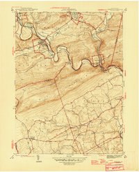
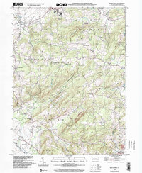
Editions of this 1955 Bethel Map
5 editions found
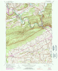
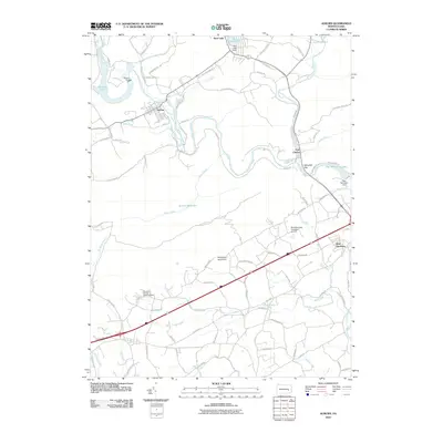
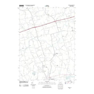
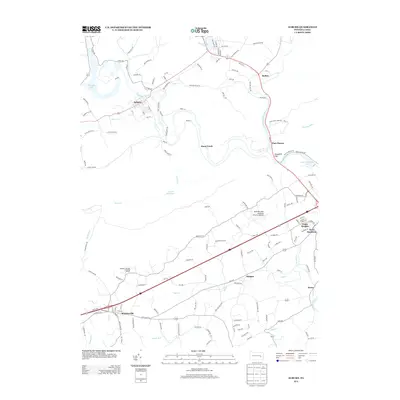
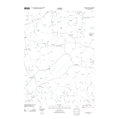
Historical Maps of Bethel Township Through Time
23 maps found

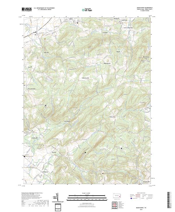
1943 Manatawny
Berks County, PA
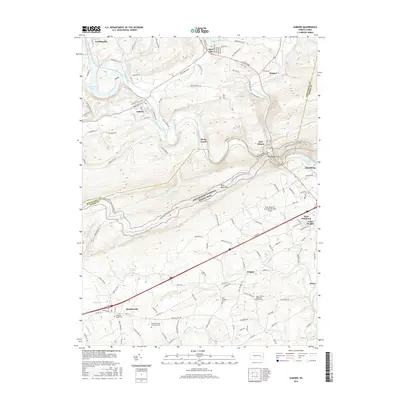
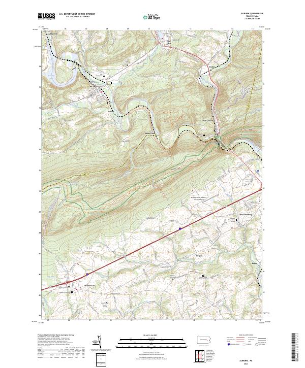
1945 Auburn
Berks County, PA
1946 Auburn
Berks County, PA
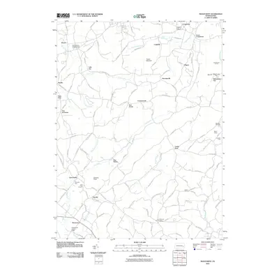
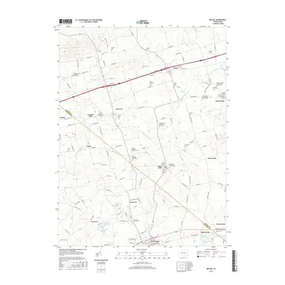
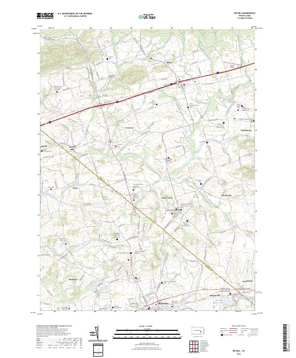
1955 Bethel
Berks County, PA
1957 Manatawny
Berks County, PA
1992 Bethel
Berks County, PA

1999 Auburn
Berks County, PA
1999 Manatawny
Berks County, PA
2010 Auburn
Berks County, PA
2010 Bethel
Berks County, PA
2010 Manatawny
Berks County, PA
2013 Auburn
Berks County, PA
2013 Bethel
Berks County, PA
2013 Manatawny
Berks County, PA
2016 Auburn
Berks County, PA
2016 Bethel
Berks County, PA
2016 Manatawny
Berks County, PA
2019 Auburn
Berks County, PA
2019 Bethel
Berks County, PA

2019 Manatawny
Berks County, PA
2023 Auburn
Berks County, PA
2023 Bethel
Berks County, PA
2023 Manatawny
Berks County, PA
Featured Locations
- Myerstown, PA
- Jackson Township, PA
- Bethel Township, PA
- Millardsville, Jackson Township
- Nacetown, Jackson Township