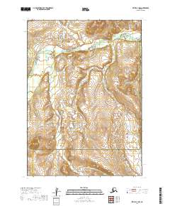
2019 Map of Bethel C-1 NW
USGS Topo · Published 2019About this map
The Kipehuk River meanders across this interior Alaskan landscape, marking a remote boundary zone defined by the intersection of the Bethel Census Area and the Dillingham Census Area. The terrain is characterized by a complex network of high-elevation contours and seasonal water systems that feed into the larger river valley. This 2019 survey documents the transition between Township 8 North and Township 7 North, showing a wilderness area devoid of permanent road infrastructure or named settlements. The administrative line between census areas follows the eastern edge of the quadrangle, providing a precise record of these jurisdictional boundaries within the vast backcountry south of the Kuskokwim River system.
Find a feature on this map
11 named features on this map. Tap any name to fly to it.
Don’t see what you’re looking for? This feature index may not catch every label — zoom into the map to look around manually.
Map Details
Editions of this 2019 Bethel C-1 NW Map
This is the sole edition of this map. No revisions or reprints were ever made.
Other maps of this area

1950 · Bethel
USGS Topo · 1:250,000

1979 · Bethel D-2
USGS Topo · 1:63,360
1979 · Bethel D-1
USGS Topo · 1:63,360

1979 · Bethel C-2
USGS Topo · 1:63,360
1979 · Bethel C-1
USGS Topo · 1:63,360

1980 · Bethel
USGS Topo · 1:250,000
2019 · Bethel C-2 SE
USGS Topo · 1:25,000
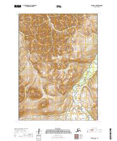
2019 · Bethel C-2 NE
USGS Topo · 1:25,000
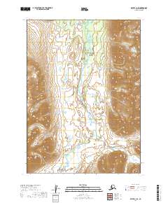
2019 · Bethel C-1 SE
USGS Topo · 1:25,000
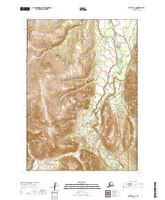
2019 · Bethel D-1 SE
USGS Topo · 1:25,000