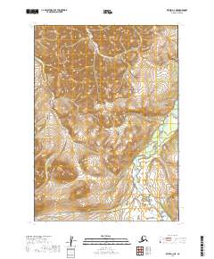
2019 Map of Bethel C-2 NE
USGS Topo · Published 2019About this map
Kipehuk River meanders through the southeastern portion of this remote Alaskan landscape, defining the local drainage system in an area marked by significant topographical relief. The map reveals a wilderness environment structured by the Public Land Survey System, including portions of t7n r58w and t8n r58w. Tributaries such as Bell Cr, Loco Cr, and Cripple Cr carve distinct valleys through the upland terrain, while Bulldog Cr cuts across the southwestern corner of the quadrangle. This 2019 survey documents a landscape devoid of permanent settlements or roads, focusing instead on the complex hydrography and natural contours of the Bethel region. The absence of human-made infrastructure emphasizes the area's role as a pristine hydrological basin where the network of creeks feeds into larger river systems.
Find a feature on this map
11 named features on this map. Tap any name to fly to it.
Don’t see what you’re looking for? This feature index may not catch every label — zoom into the map to look around manually.
Map Details
Editions of this 2019 Bethel C-2 NE Map
This is the sole edition of this map. No revisions or reprints were ever made.
Other maps of this area

1950 · Bethel
USGS Topo · 1:250,000

1979 · Bethel D-2
USGS Topo · 1:63,360
1979 · Bethel D-1
USGS Topo · 1:63,360

1979 · Bethel C-2
USGS Topo · 1:63,360
1979 · Bethel C-1
USGS Topo · 1:63,360

1980 · Bethel
USGS Topo · 1:250,000
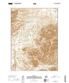
2019 · Bethel C-2 SE
USGS Topo · 1:25,000
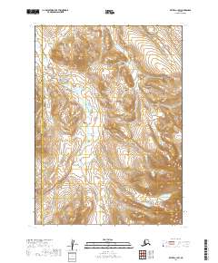
2019 · Bethel C-1 SW
USGS Topo · 1:25,000
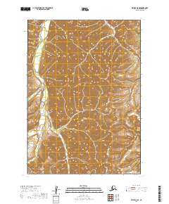
2019 · Bethel D-2 SE
USGS Topo · 1:25,000
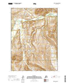
2019 · Bethel C-1 NW
USGS Topo · 1:25,000