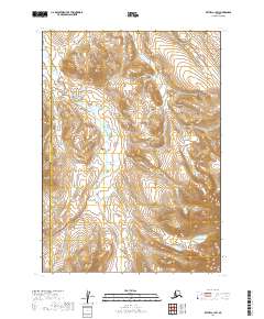
2019 Map of Bethel C-1 SW
USGS Topo · Published 2019About this map
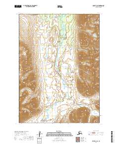
The Kipchuk River defines the central axis of this landscape, meandering through a series of steep drainages and mountain ridges. The map documents the high-altitude terrain where the Bethel Census Area and DillingHAM Census Area meet along a north-south boundary line. This 2019 survey provides a precise look at the hydrography and elevation of a wilderness region where the river system remains the primary geographic feature, cutting between peaks that reach heights over 3,000 feet. The absence of roads or settlements highlights the isolation of this portion of the interior, preserved as a baseline for the natural hydrology and land divisions between these two census jurisdictions.
Find a feature on this map
8 named features on this map. Tap any name to fly to it.
Don’t see what you’re looking for? This feature index may not catch every label — zoom into the map to look around manually.
Map Details
Editions of this 2019 Bethel C-1 SW Map
This is the sole edition of this map. No revisions or reprints were ever made.
Other maps of this area

1950 · Bethel
USGS Topo · 1:250,000

1979 · Bethel B-1
USGS Topo · 1:63,360

1979 · Bethel C-2
USGS Topo · 1:63,360

1979 · Bethel B-2
USGS Topo · 1:63,360
1979 · Bethel C-1
USGS Topo · 1:63,360

1980 · Bethel
USGS Topo · 1:250,000
2019 · Bethel C-2 SE
USGS Topo · 1:25,000
2019 · Bethel C-2 NE
USGS Topo · 1:25,000
2019 · Bethel C-1 SE
USGS Topo · 1:25,000
2019 · Bethel B-1 NE
USGS Topo · 1:25,000