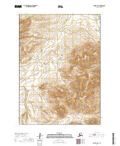
2019 Map of Bethel C-2 SE
USGS Topo · Published 2019About this map
Kipchuk River flows through the northeastern corner of this Alaskan wilderness, marking a singular watercourse in a landscape defined by dramatic elevation changes. The terrain is characterized by steep ridges and deep valleys, captured in this 2019 survey of the Bethel Census Area. Further south, Quicksilver Cr cuts through the township boundaries of T6N R58W and T5N R58W, illustrating the drainage patterns of this subarctic environment. This map is particularly valuable for those studying the hydrology and land divisions within the Unorganized Borough, where traditional settlement labels are absent and the natural topography dictates the character of the land. It offers a precise look at the remote interior before any modern infrastructure or permanent settlements were established in these specific survey blocks.
Find a feature on this map
6 named features on this map. Tap any name to fly to it.
Don’t see what you’re looking for? This feature index may not catch every label — zoom into the map to look around manually.
Map Details
Editions of this 2019 Bethel C-2 SE Map
This is the sole edition of this map. No revisions or reprints were ever made.
Other maps of this area

1950 · Bethel
USGS Topo · 1:250,000

1979 · Bethel B-1
USGS Topo · 1:63,360

1979 · Bethel C-2
USGS Topo · 1:63,360

1979 · Bethel B-2
USGS Topo · 1:63,360
1979 · Bethel C-1
USGS Topo · 1:63,360

1980 · Bethel
USGS Topo · 1:250,000
2019 · Bethel C-2 NE
USGS Topo · 1:25,000
2019 · Bethel B-2 NE
USGS Topo · 1:25,000
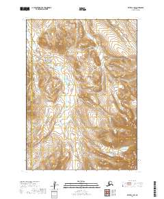
2019 · Bethel C-1 SW
USGS Topo · 1:25,000
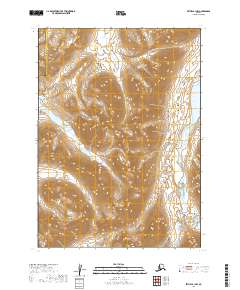
2019 · Bethel B-1 NW
USGS Topo · 1:25,000