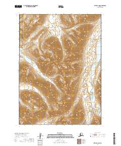
2019 Map of Bethel B-1 NW
USGS Topo · Published 2019About this map
The Kipchuk River and Aniak River carve through this unpopulated wilderness on the boundary between the Bethel and Dillingham Census Areas. This 2019 survey documents a landscape dominated by water and topography, centered around high-elevation ridges that divide major drainage basins. To the east, the waters of Aniak Lake provide a significant geographical anchor, while the western portion of the map is defined by the North Fork Lakes and the headwaters of the N-Fork Kisaralik River. The absence of any roads, trails, or structures reflects the sheer isolation of this region of Alaska, where the natural hydrography serves as the primary means of navigation and reference for those moving through the interior.
Find a feature on this map
13 named features on this map. Tap any name to fly to it.
Don’t see what you’re looking for? This feature index may not catch every label — zoom into the map to look around manually.
Map Details
Editions of this 2019 Bethel B-1 NW Map
This is the sole edition of this map. No revisions or reprints were ever made.
Other maps of this area

1950 · Bethel
USGS Topo · 1:250,000

1979 · Bethel B-1
USGS Topo · 1:63,360

1979 · Bethel C-2
USGS Topo · 1:63,360

1979 · Bethel B-2
USGS Topo · 1:63,360
1979 · Bethel C-1
USGS Topo · 1:63,360

1980 · Bethel
USGS Topo · 1:250,000
2019 · Bethel C-2 SE
USGS Topo · 1:25,000
2019 · Bethel C-1 SE
USGS Topo · 1:25,000
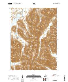
2019 · Bethel B-1 NE
USGS Topo · 1:25,000
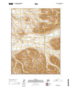
2019 · Bethel B-2 NE
USGS Topo · 1:25,000