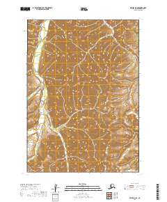
2019 Map of Bethel D-2 SE
USGS Topo · Published 2019About this map
The Salmon River flows through this expansive interior landscape, serving as the primary hydrological feature within the Bethel Census Area. The terrain is defined by a series of high ridges and deep drainages, including Pass Cr in the northeast and Fisher Cr further south. These waterways suggest a landscape where seasonal travel and natural drainage patterns dictate the movement of any local industry or exploration. In the southern portion of the sheet, the headwaters of Bell Cr and Cripple Cr intersect with established township boundaries like t8n r58w. This 2019 survey documents a region of the Alaskan interior largely untouched by modern road infrastructure, preserving the natural course of the river systems as they were at the start of the twenty-first century.
Find a feature on this map
9 named features on this map. Tap any name to fly to it.
Don’t see what you’re looking for? This feature index may not catch every label — zoom into the map to look around manually.
Map Details
Editions of this 2019 Bethel D-2 SE Map
This is the sole edition of this map. No revisions or reprints were ever made.
Other maps of this area

1950 · Bethel
USGS Topo · 1:250,000

1979 · Bethel D-2
USGS Topo · 1:63,360
1979 · Bethel D-1
USGS Topo · 1:63,360

1979 · Bethel C-2
USGS Topo · 1:63,360
1979 · Bethel C-1
USGS Topo · 1:63,360

1980 · Bethel
USGS Topo · 1:250,000
2019 · Bethel C-2 NE
USGS Topo · 1:25,000
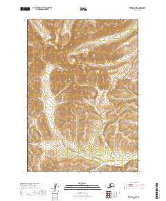
2019 · Bethel D-2 NW
USGS Topo · 1:25,000
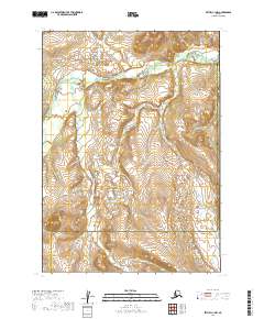
2019 · Bethel C-1 NW
USGS Topo · 1:25,000
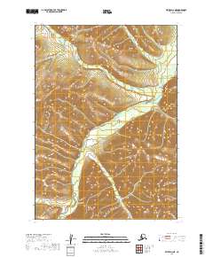
2019 · Bethel D-2 NE
USGS Topo · 1:25,000