2016 Map of Bethel
USGS Topo · Published 2016About this map
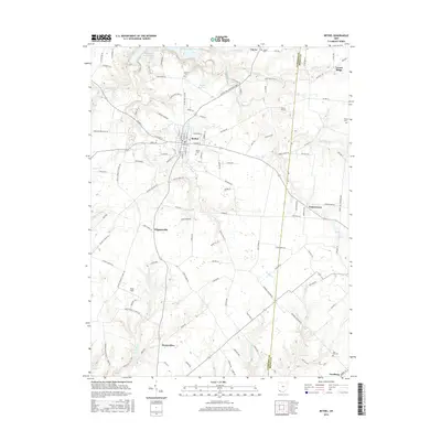
The village of Bethel anchors this landscape in southern Ohio, situated at the intersection of numerous local thoroughfares including W Plane St and N Main St. This 2016 survey captures the town’s established residential grid, punctuated by Tower Aly and the Bethel Cem. To the north, the terrain is defined by the waters of William H Harsha Lake and the Bethel Reservoir, while Better Lake sits closer to the town center.
Find a feature on this map
131 named features on this map. Tap any name to fly to it.
Don’t see what you’re looking for? This feature index may not catch every label — zoom into the map to look around manually.
Map Details
Editions of this 2016 Bethel Map
This is the sole edition of this map. No revisions or reprints were ever made.
Other maps of this area

1914 · Batavia
USGS Topo · 1:48,000

1916 · Batavia
USGS Topo · 1:62,500

1917 · Sardinia
USGS Topo · 1:62,500

1928 · Higginsport
USGS Topo · 1:48,000

1931 · Felicity
USGS Topo · 1:62,500

1931 · Higginsport
USGS Topo · 1:62,500

1944 · Sardinia
USGS Topo · 1:62,500

1947 · Columbus
USGS Topo · 1:250,000

1952 · Higginsport
USGS Topo · 1:24,000

1953 · Laurel
USGS Topo · 1:24,000