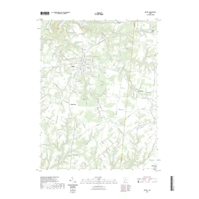
2023 Map of Bethel
USGS Topo · Published 2023About this map
Bethel serves as the primary hub of this landscape, situated at the intersection of several significant regional routes. The surrounding countryside is marked by a network of small streams and runs, including Town Run and Poplar Creek, which drain into larger systems like Big Indian Creek to the south. Historically significant burial grounds such as Bethel Cem, Clover Cemetery, and Brooks Cem are scattered throughout the quadrangle, offering points of interest for genealogists tracing local families. Small settlements like Wiggonsville, Mount Olive, and Feesburg anchor the rural districts, while Kelch Airport and Better Lake represent later development in the interior. The presence of the Bethel-Williamsburg Park near the Bethel Reservoir highlights the preservation of recreational space amidst the agricultural and residential growth of Clermont County.
Find a feature on this map
126 named features on this map. Tap any name to fly to it.
Don’t see what you’re looking for? This feature index may not catch every label — zoom into the map to look around manually.
Map Details
Editions of this 2023 Bethel Map
This is the sole edition of this map. No revisions or reprints were ever made.
Other maps of this area

1914 · Batavia
USGS Topo · 1:48,000

1916 · Batavia
USGS Topo · 1:62,500

1917 · Sardinia
USGS Topo · 1:62,500

1928 · Higginsport
USGS Topo · 1:48,000

1931 · Felicity
USGS Topo · 1:62,500

1931 · Higginsport
USGS Topo · 1:62,500

1944 · Sardinia
USGS Topo · 1:62,500

1947 · Columbus
USGS Topo · 1:250,000

1952 · Higginsport
USGS Topo · 1:24,000

1953 · Laurel
USGS Topo · 1:24,000