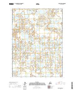
2017 Map of Bethel D-5 NW
USGS Topo · Published 2017About this map
Unbound wetlands and countless small water bodies dominate this portion of the Bethel Census Area, illustrating the complex hydrology of the Yukon-Kuskokwim Delta. This 2017 survey shows a landscape defined entirely by its natural hydrography, lacking the roads or settlements typically found in more developed regions. The map provides a detailed view of the Public Land Survey System grid, including boundaries for T11n R65w, T11n R64w, and T10n R65w. Without named human landmarks, the sheet serves as a primary record of the shifting shorelines and interconnected ponds that characterize this subarctic environment. It is a specialized resource for understanding the intricate drainage patterns in areas like T10n R64w and T9n R65w where the land and water are inextricably linked.
Find a feature on this map
6 named features on this map. Tap any name to fly to it.
Don’t see what you’re looking for? This feature index may not catch every label — zoom into the map to look around manually.
Map Details
Editions of this 2017 Bethel D-5 NW Map
This is the sole edition of this map. No revisions or reprints were ever made.
Other maps of this area

1947 · Russian Mission
USGS Topo · 1:250,000

1950 · Russian Mission
USGS Topo · 1:250,000

1950 · Bethel
USGS Topo · 1:250,000

1954 · Russian Mission A-6
USGS Topo · 1:63,360

1954 · Russian Mission A-5
USGS Topo · 1:63,360

1954 · Bethel D-6
USGS Topo · 1:63,360

1954 · Bethel D-5
USGS Topo · 1:63,360

1980 · Russian Mission
USGS Topo · 1:250,000

1980 · Bethel
USGS Topo · 1:250,000
2017 · Russian Mission A-5 SW
USGS Topo · 1:25,000