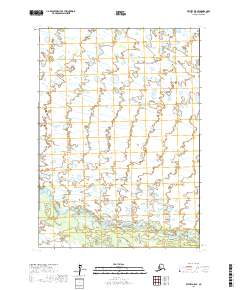
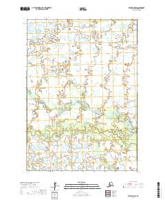
2017 Map of Bethel D-5 SE
USGS Topo · Published 2017About this map
The Kisaralik River winds through this sub-arctic terrain in the Bethel Census Area, creating a complex network of wetlands and meanders. Located in southwestern Alaska, this 2017 survey documents a landscape defined by its hydrography, where the river's path is the primary geographical anchor for the surrounding wilderness. The terrain is organized by the Public Land Survey System, with boundaries such as T9n R64w and T8n R64w providing a grid over the otherwise fluid natural features. This map serves as a contemporary record of a remote river system, illustrating how natural watercourses dictate the character of the land far from established road networks or permanent settlements.
Find a feature on this map
5 named features on this map. Tap any name to fly to it.
Don’t see what you’re looking for? This feature index may not catch every label — zoom into the map to look around manually.
Map Details
Editions of this 2017 Bethel D-5 SE Map
This is the sole edition of this map. No revisions or reprints were ever made.
Other maps of this area

1950 · Bethel
USGS Topo · 1:250,000

1954 · Bethel D-4
USGS Topo · 1:63,360

1954 · Bethel C-5
USGS Topo · 1:63,360

1954 · Bethel C-4
USGS Topo · 1:63,360

1954 · Bethel D-5
USGS Topo · 1:63,360

1980 · Bethel
USGS Topo · 1:250,000
2017 · Bethel C-4 NW
USGS Topo · 1:25,000
2017 · Bethel C-5 NE
USGS Topo · 1:25,000
2017 · Bethel D-5 NE
USGS Topo · 1:25,000
2017 · Bethel D-5 SW
USGS Topo · 1:25,000