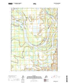
2017 Map of Bethel D-7 SW
USGS Topo · Published 2017About this map
The Kuskokwim River meanders through this portion of the Yukon-Kuskokwim Delta, defining a landscape of complex waterways and shifting shorelines. The map captures the intricate braided channel system where the Kuskokuak Slough and Tupuknuk Slough diverge from the main river, creating a network of islands and wetlands. The confluence of the Kwethluk River and the presence of the Kwethluk Airport near the eastern edge highlight the critical intersection of river travel and aviation in this roadless region. Smaller tributaries like Gweek River, Church Slough, and Tubungaluk Cr further illustrate the water-dominated geography that has long dictated movement and subsistence patterns in the Bethel Census Area.
Find a feature on this map
12 named features on this map. Tap any name to fly to it.
Don’t see what you’re looking for? This feature index may not catch every label — zoom into the map to look around manually.
Map Details
Editions of this 2017 Bethel D-7 SW Map
This is the sole edition of this map. No revisions or reprints were ever made.
Other maps of this area

1950 · Bethel
USGS Topo · 1:250,000

1954 · Bethel D-8
USGS Topo · 1:63,360

1954 · Bethel D-7
USGS Topo · 1:63,360

1954 · Bethel C-8
USGS Topo · 1:63,360
1954 · Bethel C-7
USGS Topo · 1:63,360

1980 · Bethel
USGS Topo · 1:250,000
2017 · Bethel D-8 SE
USGS Topo · 1:25,000
2017 · Bethel D-7 NE
USGS Topo · 1:25,000
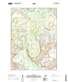
2017 · Bethel D-7 SE
USGS Topo · 1:25,000
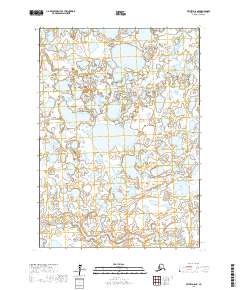
2017 · Bethel D-8 NE
USGS Topo · 1:25,000