
1954 Map of Bethel D-7
USGS Topo · Published 1965About this map
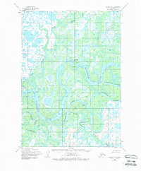
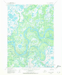
Akiachak, Kwethluk, and Nunapitchuk anchor this mid-century survey of the intricate riverine environment in the Yukon-Kuskokwim Delta. The landscape is defined by a complex network of waterways, where the broad Kuskokwim River splits into numerous channels and side-streams such as Kuskokuak Slough and Tupuknuk Slough. Native settlements are positioned at strategic points along these corridors, reflecting the enduring reliance on these water systems for transportation and subsistence. Numerous Tidal Flats and features like Kiktak Is reveal a low-lying, shifting terrain where land and water frequently merge. Tracing the paths of the Gweek River and Church Slough provides insight into the geographical constraints and opportunities that have shaped the development of these communities during the 1950s.
Find a feature on this map
14 named features on this map. Tap any name to fly to it.
Don’t see what you’re looking for? This feature index may not catch every label — zoom into the map to look around manually.
Map Details
Editions of this 1954 Bethel D-7 Map
3 editions found
Other maps of this area

1947 · Russian Mission
USGS Topo · 1:250,000

1950 · Russian Mission
USGS Topo · 1:250,000

1950 · Bethel
USGS Topo · 1:250,000

1954 · Russian Mission A-6
USGS Topo · 1:63,360

1954 · Russian Mission A-8
USGS Topo · 1:63,360
1954 · Russian Mission A-7
USGS Topo · 1:63,360

1954 · Bethel D-8
USGS Topo · 1:63,360

1954 · Bethel C-6
USGS Topo · 1:63,360

1954 · Bethel D-6
USGS Topo · 1:63,360

1954 · Bethel C-8
USGS Topo · 1:63,360