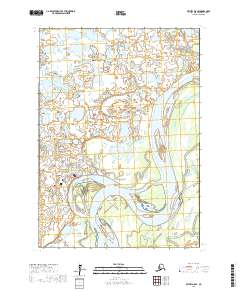
2017 Map of Bethel D-8 SE
USGS Topo · Published 2017About this map
Bethel serves as a critical hub along the sweeping curves of the Kuskokwim River, a landscape defined by an intricate network of waterways and low-lying wetlands. The town's grid extends toward the riverbank, anchored by the Post Office and major thoroughfares like the Chief Eddie Hoffman Highway. This 2017 survey reveals the geographic relationship between the settled town and the surrounding delta environment, where deep sloughs such as Browns Slough and Steamboat Slough carve through the terrain. To the east and north, the land is dominated by numerous small lakes and meandering channels, including Arthur Dall Lake and Hangar Lake. The presence of the Winter Trail leading south out of town underscores the specialized transportation methods required in this subarctic region, where seasonal paths and river travel are central to local life.
Find a feature on this map
29 named features on this map. Tap any name to fly to it.
Don’t see what you’re looking for? This feature index may not catch every label — zoom into the map to look around manually.
Map Details
Editions of this 2017 Bethel D-8 SE Map
This is the sole edition of this map. No revisions or reprints were ever made.
Other maps of this area

1950 · Bethel
USGS Topo · 1:250,000

1954 · Bethel D-8
USGS Topo · 1:63,360

1954 · Bethel D-7
USGS Topo · 1:63,360

1954 · Bethel C-8
USGS Topo · 1:63,360
1954 · Bethel C-7
USGS Topo · 1:63,360

1980 · Bethel
USGS Topo · 1:250,000
2017 · Bethel C-8 NW
USGS Topo · 1:25,000
2017 · Bethel D-8 NE
USGS Topo · 1:25,000
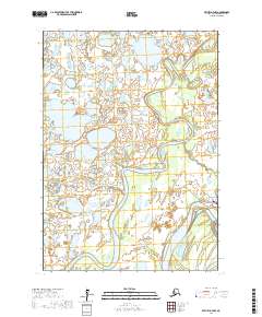
2017 · Bethel D-7 NW
USGS Topo · 1:25,000
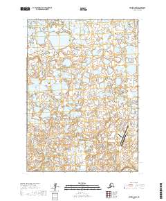
2017 · Bethel D-8 SW
USGS Topo · 1:25,000