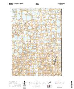
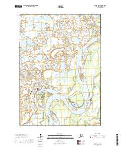
2017 Map of Bethel D-8 SW
USGS Topo · Published 2017About this map
The Kukthluk River winds through this expanse of western Alaska, where the landscape is defined by a dense network of lakes and marshes characteristic of the Yukon-Kuskokwim Delta. Near the eastern edge, the infrastructure of Bethel Airport serves as a critical transportation hub for the region, reflecting the transition from wilderness to the outskirts of a regional center.
Find a feature on this map
17 named features on this map. Tap any name to fly to it.
Don’t see what you’re looking for? This feature index may not catch every label — zoom into the map to look around manually.
Map Details
Editions of this 2017 Bethel D-8 SW Map
This is the sole edition of this map. No revisions or reprints were ever made.
Other maps of this area

1950 · Bethel
USGS Topo · 1:250,000

1951 · Baird Inlet
USGS Topo · 1:250,000

1954 · Bethel D-8
USGS Topo · 1:63,360

1954 · Bethel C-8
USGS Topo · 1:63,360

1954 · Baird Inlet
USGS Topo · 1:250,000
1954 · Baird Inlet C-1
USGS Topo · 1:63,360
1954 · Baird Inlet D-1
USGS Topo · 1:63,360

1980 · Bethel
USGS Topo · 1:250,000
2017 · Baird Inlet C-1 NE
USGS Topo · 1:25,000
2017 · Bethel D-8 SE
USGS Topo · 1:25,000