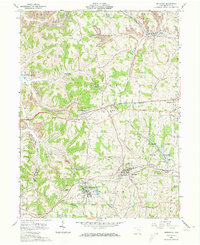
1961 Map of Bethesda
USGS Topo · Published 1973About this map
Bethesda and Belmont anchor this 1961 survey of Belmont County, reflecting an era where rural industry and recreation existed side-by-side. The presence of numerous Strip Mine and Mine operations across townships like Flushing and Kirkwood signals the region's intensive coal production. This industrial footprint is balanced by local community landmarks, including Epworth Park and Belmont Lake State Reserve.
Find a feature on this map
46 named features on this map. Tap any name to fly to it.
Don’t see what you’re looking for? This feature index may not catch every label — zoom into the map to look around manually.
Map Details
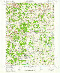
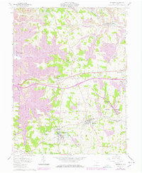
Editions of this 1961 Bethesda Map
3 editions found
Other maps of this area

1903 · Flushing
USGS Topo · 1:62,500

1905 · Clarington
USGS Topo · 1:62,500

1905 · St. Clairsville
USGS Topo · 1:62,500

1905 · Woodsfield
USGS Topo · 1:62,500

1905 · Flushing
USGS Topo · 1:62,500

1935 · Clarington
USGS Topo · 1:62,500

1940 · Clarington
USGS Topo · 1:62,500

1949 · Clarksburg
USGS Topo · 1:250,000

1951 · Canton
USGS Topo · 1:250,000

1953 · Canton
USGS Topo · 1:250,000