
1942 Map of Bethesda
USGS Topo · Published 1942About this map
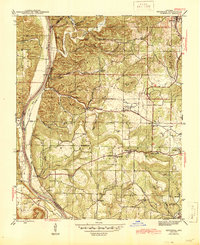
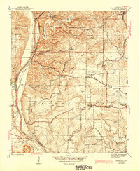
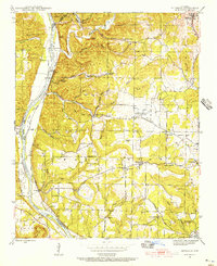
White River navigation and the Missouri Pacific railroad define the transportation corridor of Independence County in the early 1940s. The village of Bethesda serves as a central hub, surrounded by a dense network of country schools such as Independence Sch and Chinquapin Sch. This era captures a landscape of active industry, notably at the Martin Mines and Mcbride Mines, alongside the University of Arkansas Experimental Farm. The map reveals the community's spiritual and social infrastructure through various landmarks like Campground Ch and Pilgrims Rest Ch. Waterways like Lafferty Cr and East Lafferty Creek carve through the terrain, where river-crossing points like Walls Ferry and Earnhearts Ferry once linked the disparate ridge settlements and hollows.
Find a feature on this map
62 named features on this map. Tap any name to fly to it.
Don’t see what you’re looking for? This feature index may not catch every label — zoom into the map to look around manually.
Map Details
Editions of this 1942 Bethesda Map
4 editions found
Other maps of this area

1890 · Batesville
USGS Topo · 1:125,000

1891 · Batesville
USGS Topo · 1:125,000

1942 · Jamestown
USGS Topo · 1:31,680

1942 · Almond
USGS Topo · 1:31,680

1942 · Batesville
USGS Topo · 1:31,680

1942 · Mt Pleasant
USGS Topo · 1:31,680

1943 · Sandtown
USGS Topo · 1:24,000

1943 · Batesville
USGS Topo · 1:24,000

1953 · Memphis
USGS Topo · 1:250,000

1956 · Memphis
USGS Topo · 1:250,000