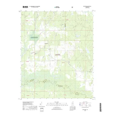
2018 Map of Bethlehem
USGS Topo · Published 2018About this map
Bethlehem and Cornersville sit at the intersection of rural Marshall, Benton, and Lafayette counties, where the high ground of the Holly Springs National Forest gives way to the broad floodplains of the Little Tallahatchie River. The landscape is defined by its watercourses, including the Tippah River, Potts Cr, and Wolf Cr, which drain into the expansive wetlands of the Tallahatchie basin. This environment is punctuated by numerous community burial grounds that anchor the local genealogy, such as Lebanon Cem, Macedonia Cem, and Baptist Hill Cem. The presence of the Farm Service Agency Interest of Mississippi tract indicates the ongoing role of federal land management and agricultural oversight in this section of the Mississippi hill country. Roads like Whaley Rd and Johnny Walker Rd wind through the timbered tracts, connecting small settlements to the river bottomlands.
Find a feature on this map
51 named features on this map. Tap any name to fly to it.
Don’t see what you’re looking for? This feature index may not catch every label — zoom into the map to look around manually.
Map Details
Editions of this 2018 Bethlehem Map
This is the sole edition of this map. No revisions or reprints were ever made.
Other maps of this area

1942 · Denmark
USGS Topo · 1:62,500

1943 · Denmark
USGS Topo · 1:62,500

1944 · Potts Camp
USGS Topo · 1:62,500

1945 · Potts Camp
USGS Topo · 1:62,500

1949 · New Albany
USGS Topo · 1:62,500

1951 · New Albany
USGS Topo · 1:62,500

1955 · Blue Mountain
USGS Topo · 1:62,500

1956 · Tupelo
USGS Topo · 1:250,000

1958 · Tupelo
USGS Topo · 1:250,000

1964 · Waterford
USGS Topo · 1:24,000