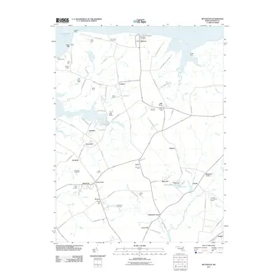
2011 Map of Betterton
USGS Topo · Published 2011About this map
The Chesapeake Bay shoreline and the Sassafras River define the northern boundary of this Kent County landscape, where maritime history and agricultural life converge. Longstanding local hubs like Betterton and Still Pond remain central to the community, while the inland terrain is dotted with small settlements such as Coleman, Lynch, and Urieville. The map documents a traditional rural network of roads like Rosedale Cannery Rd and Bloomingneck Rd, connecting numerous farms including Five Rivers Farm and the Fair Promise Stock Farm. Researchers can find significant genealogical landmarks, including the Still Pond Cemetery and Mount Olive Cemetery. From the recreational grounds of Camp Tockwogh YMCA to the aviation sites at Harris Airport and Cromwell Farm Airport, the map provides a comprehensive view of the region's contemporary infrastructure and historical land use patterns.
Find a feature on this map
97 named features on this map. Tap any name to fly to it.
Don’t see what you’re looking for? This feature index may not catch every label — zoom into the map to look around manually.
Map Details
Editions of this 2011 Betterton Map
This is the sole edition of this map. No revisions or reprints were ever made.
Other maps of this area

1898 · Tolchester
USGS Topo · 1:125,000

1899 · Dover
USGS Topo · 1:125,000

1900 · Cecilton
USGS Topo · 1:62,500

1900 · Betterton
USGS Topo · 1:62,500

1901 · Chestertown
USGS Topo · 1:62,500

1903 · Tolchester
USGS Topo · 1:125,000

1905 · Barclay
USGS Topo · 1:62,500

1906 · Dover
USGS Topo · 1:125,000

1908 · Tolchester
USGS Topo · 1:125,000

1920 · Dover
USGS Topo · 1:125,000