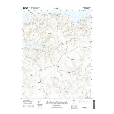
2017 Map of Betterton
USGS Topo · Published 2017About this map
Chesapeake Bay waters define the northern and western edges of this Kent County landscape, where the shoreline is broken by landforms like Howell Point and Castle Point. The inland territory is a mosaic of small farming communities and crossroads settlements, including Betterton, Still Pond, and Kennedyville. This 2017 survey reflects a persistent agricultural and residential pattern, with numerous family-named roads such as Goosedown Farm Rd and Barrett Farm Rd threading between large tracts of land. For local historians and genealogists, the map identifies several significant burial grounds, including Still Pond Cem, Christ Cem, and Fountain Cem. The eastern portion of the map is dominated by the upper reaches of Morgan Creek and the Urieville Community Lake, while small private airfields like Harris Airport and Cromwell Farm Airport suggest the modern connectivity of this rural Maryland peninsula.
Find a feature on this map
85 named features on this map. Tap any name to fly to it.
Don’t see what you’re looking for? This feature index may not catch every label — zoom into the map to look around manually.
Map Details
Editions of this 2017 Betterton Map
This is the sole edition of this map. No revisions or reprints were ever made.
Other maps of this area

1898 · Tolchester
USGS Topo · 1:125,000

1899 · Dover
USGS Topo · 1:125,000

1900 · Cecilton
USGS Topo · 1:62,500

1900 · Betterton
USGS Topo · 1:62,500

1901 · Chestertown
USGS Topo · 1:62,500

1903 · Tolchester
USGS Topo · 1:125,000

1905 · Barclay
USGS Topo · 1:62,500

1906 · Dover
USGS Topo · 1:125,000

1908 · Tolchester
USGS Topo · 1:125,000

1920 · Dover
USGS Topo · 1:125,000