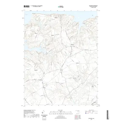
2019 Map of Betterton
USGS Topo · Published 2019About this map
Betterton sits along the northern edge of this Kent County landscape, overlooking the Chesapeake Channel and the wetlands of Big Marsh. The interior of the peninsula is a network of small agricultural and residential centers, including Still Pond, Worton, and Lynch, connected by historic thoroughfares like Still Pond Rd. Local genealogy is well-documented through several marked burial sites, notably Still Pond Cem, Mount Olive Cem, and the Christ Episcopal Cem near Smithville.
Find a feature on this map
87 named features on this map. Tap any name to fly to it.
Don’t see what you’re looking for? This feature index may not catch every label — zoom into the map to look around manually.
Map Details
Editions of this 2019 Betterton Map
This is the sole edition of this map. No revisions or reprints were ever made.
Other maps of this area

1898 · Tolchester
USGS Topo · 1:125,000

1899 · Dover
USGS Topo · 1:125,000

1900 · Cecilton
USGS Topo · 1:62,500

1900 · Betterton
USGS Topo · 1:62,500

1901 · Chestertown
USGS Topo · 1:62,500

1903 · Tolchester
USGS Topo · 1:125,000

1905 · Barclay
USGS Topo · 1:62,500

1906 · Dover
USGS Topo · 1:125,000

1908 · Tolchester
USGS Topo · 1:125,000

1920 · Dover
USGS Topo · 1:125,000