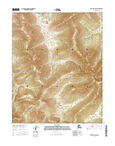
2016 Map of Bettles A-6 SW
USGS Topo · Published 2016About this map
The Melozitna River winds through this interior Alaskan wilderness, cutting through a landscape defined by sharp elevation shifts and complex drainage patterns. In the southern portion of the quadrangle, the river serves as a primary geographical anchor, while smaller tributaries like Hayadazathelna Cr in the southwest and Nolitna Cr in the northeast carve out the surrounding uplands. This 2016 survey, compiled from data spanning the previous decade, details the township and range lines of t15n r26w and t14n r25w, providing a precise look at the public land survey system in this unpopulated region. The absence of roads or structures emphasizes the isolation of this terrain, where the hydrography of the Melozitna basin remains the dominant physical characteristic.
Find a feature on this map
7 named features on this map. Tap any name to fly to it.
Don’t see what you’re looking for? This feature index may not catch every label — zoom into the map to look around manually.
Map Details
Editions of this 2016 Bettles A-6 SW Map
This is the sole edition of this map. No revisions or reprints were ever made.
Other maps of this area

1951 · Hughes
USGS Topo · 1:250,000

1951 · Melozitna
USGS Topo · 1:250,000

1951 · Bettles
USGS Topo · 1:250,000

1951 · Tanana
USGS Topo · 1:250,000

1952 · Melozitna D-1
USGS Topo · 1:63,360

1955 · Hughes A-1
USGS Topo · 1:63,360

1956 · Hughes
USGS Topo · 1:250,000

1956 · Bettles
USGS Topo · 1:250,000

1956 · Tanana D-6
USGS Topo · 1:63,360

1956 · Melozitna
USGS Topo · 1:250,000