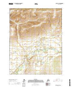
2017 Map of Bettles C-2 NW
USGS Topo · Published 2017About this map
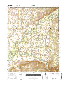
Bonanza Creek snakes across the southern reaches of this interior Alaskan landscape, defining the primary drainage for the surrounding terrain. Situated within the Yukon-Koyukuk region, the area is characterized by significant topographic relief in the northern sections, which gradually descends into a more marshy, wetland-dominated lowland toward the south. The absence of roads or established settlements on this 2017 survey reflects the remote, undeveloped nature of the Public Land Survey System divisions between t22n r16w and t21n r15w. For researchers, the map provides a precise record of the natural hydrology and contouring of this subarctic wilderness prior to any modern infrastructure development.
Find a feature on this map
5 named features on this map. Tap any name to fly to it.
Don’t see what you’re looking for? This feature index may not catch every label — zoom into the map to look around manually.
Map Details
Editions of this 2017 Bettles C-2 NW Map
This is the sole edition of this map. No revisions or reprints were ever made.
Other maps of this area

1951 · Bettles
USGS Topo · 1:250,000

1956 · Bettles
USGS Topo · 1:250,000

1970 · Bettles D-3
USGS Topo · 1:63,360

1970 · Bettles C-2
USGS Topo · 1:63,360

1970 · Bettles D-2
USGS Topo · 1:63,360
1970 · Bettles C-3
USGS Topo · 1:63,360
2016 · Bettles C-3 SE
USGS Topo · 1:25,000
2016 · Bettles C-3 NE
USGS Topo · 1:25,000
2016 · Bettles D-3 SE
USGS Topo · 1:25,000
2017 · Bettles C-2 SW
USGS Topo · 1:25,000