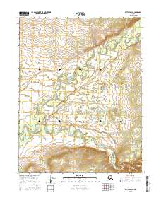
2016 Map of Bettles D-3 SE
USGS Topo · Published 2016About this map
South Fork Koyukuk River meanders across this northern landscape, defining a complex network of wetlands and seasonal watercourses in the central Yukon-Koyukuk region. The area is characterized by the convergence of major glacial drainage systems, where the river's broad floodplains meet the winding path of the Jim River. Detailed topographic contours illustrate the gradual elevation changes between the river basins and the surrounding upland plateaus. This 2016 survey captures the wild hydrology of the Alaskan interior before the seasonal shifts and natural erosion typical of these arctic river systems further alter the channel paths.
Find a feature on this map
8 named features on this map. Tap any name to fly to it.
Don’t see what you’re looking for? This feature index may not catch every label — zoom into the map to look around manually.
Map Details
Editions of this 2016 Bettles D-3 SE Map
This is the sole edition of this map. No revisions or reprints were ever made.
Other maps of this area

1951 · Bettles
USGS Topo · 1:250,000

1956 · Bettles
USGS Topo · 1:250,000

1970 · Bettles D-3
USGS Topo · 1:63,360

1970 · Bettles C-2
USGS Topo · 1:63,360

1970 · Bettles D-2
USGS Topo · 1:63,360
1970 · Bettles C-3
USGS Topo · 1:63,360
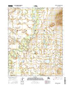
2016 · Bettles C-3 NW
USGS Topo · 1:25,000
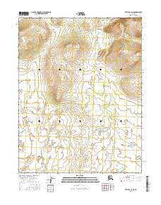
2016 · Bettles C-3 NE
USGS Topo · 1:25,000
2016 · Bettles D-3 NE
USGS Topo · 1:25,000
2016 · Bettles D-3 NW
USGS Topo · 1:25,000