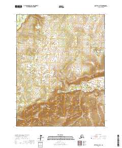
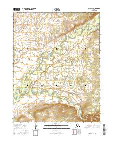
2017 Map of Bettles D-2 SW
USGS Topo · Published 2017About this map
The South Fork Koyukuk River winds through the northwestern corner of this interior Alaska wilderness, while the Jim River cuts across the southern and eastern landscape. This 2017 topographic survey highlights the complex drainage patterns and wetland systems typical of the Yukon-Koyukuk region. The map captures a moment of modern data compilation, utilizing SPOT satellite imagery and National Hydrography Dataset records to detail the intricate paths of these Arctic waterways. Without permanent settlements or roads shown, the map serves as a primary record of the natural topography and hydrologic features between the North Slope and the Yukon River drainage, where the landscape is defined by the shifting courses of these two significant rivers.
Find a feature on this map
8 named features on this map. Tap any name to fly to it.
Don’t see what you’re looking for? This feature index may not catch every label — zoom into the map to look around manually.
Map Details
Editions of this 2017 Bettles D-2 SW Map
This is the sole edition of this map. No revisions or reprints were ever made.
Other maps of this area

1951 · Bettles
USGS Topo · 1:250,000

1956 · Bettles
USGS Topo · 1:250,000

1970 · Bettles D-3
USGS Topo · 1:63,360

1970 · Bettles C-2
USGS Topo · 1:63,360

1970 · Bettles D-2
USGS Topo · 1:63,360
1970 · Bettles C-3
USGS Topo · 1:63,360
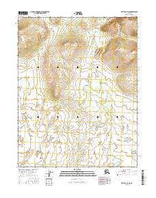
2016 · Bettles C-3 NE
USGS Topo · 1:25,000
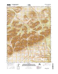
2016 · Bettles D-3 NE
USGS Topo · 1:25,000
2016 · Bettles D-3 SE
USGS Topo · 1:25,000
2017 · Bettles D-2 NE
USGS Topo · 1:25,000