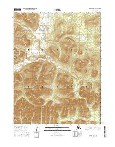
2016 Map of Bettles D-5 NE
USGS Topo · Published 2016About this map
Alatna Hills and Becks Hills define the topography of this remote Interior Alaska landscape within the Yukon-Koyukuk region. This 2016 survey provides a precise look at the township and range divisions, including t25n r21w, t25n r20w, t24n r22w, and t24n r21w, which organize the vast undeveloped terrain. The map is a primary resource for understanding the land status and natural contours before any significant infrastructure or settlement was established in these specific upland areas. The intricate drainage patterns and elevation data from the National Elevation Dataset illustrate the complex watershed of the region, emphasizing the isolation and natural state of the northern interior.
Find a feature on this map
6 named features on this map. Tap any name to fly to it.
Don’t see what you’re looking for? This feature index may not catch every label — zoom into the map to look around manually.
Map Details
Editions of this 2016 Bettles D-5 NE Map
This is the sole edition of this map. No revisions or reprints were ever made.
Other maps of this area

1951 · Bettles
USGS Topo · 1:250,000

1951 · Wiseman
USGS Topo · 1:250,000

1956 · Bettles
USGS Topo · 1:250,000

1956 · Wiseman
USGS Topo · 1:250,000

1964 · Wiseman
USGS Topo · 1:250,000

1970 · Bettles D-4
USGS Topo · 1:63,360

1970 · Wiseman A-4
USGS Topo · 1:63,360

1970 · Wiseman A-5
USGS Topo · 1:63,360
1970 · Bettles D-5
USGS Topo · 1:63,360
2016 · Wiseman A-5 SE
USGS Topo · 1:25,000