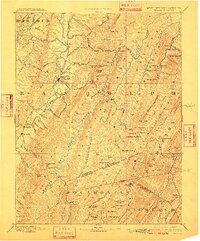
1892 Map of Beverly
USGS Topo · Published 1910About this map
Highland ridges and deep river valleys define this 1890s survey of the West Virginia and Virginia borderlands, centered on the historic settlement of Beverly. The landscape is dominated by the parallel alignments of Shavers Mountain, Laurel Mountain, and Middle Mountain, which channeled early movement and settlement along the Greenbrier River and the Tygart Valley. A notable cultural artifact of the era is the Boundary Line In Dispute running between Randolph and Pocahontas counties, reflecting the ongoing surveying challenges of the Appalachian interior. Small, isolated communities like Dogtown, Travellers Repose, and Hard Scrabble appear alongside significant natural landmarks such as The Sinks, where water disappears into the limestone geology. This record captures the region just as Elkins was emerging as a more prominent rail and trade hub in the north.
Find a feature on this map
129 named features on this map. Tap any name to fly to it.
Don’t see what you’re looking for? This feature index may not catch every label — zoom into the map to look around manually.
Map Details
Editions of this 1892 Beverly Map
5 editions found
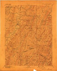
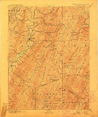
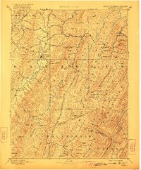
Other maps of this area

1886 · St. George
USGS Topo · 1:125,000

1889 · Beverly
USGS Topo · 1:125,000

1891 · Huntersville
USGS Topo · 1:125,000

1891 · St. George
USGS Topo · 1:125,000

1892 · Beverly
USGS Topo · 1:125,000

1892 · Franklin
USGS Topo · 1:125,000

1893 · Buckhannon
USGS Topo · 1:125,000

1894 · Huntersville
USGS Topo · 1:125,000

1894 · Staunton
USGS Topo · 1:125,000

1895 · Piedmont
USGS Topo · 1:125,000