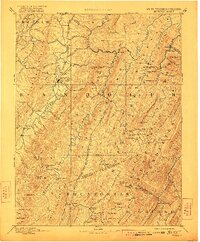
1892 Map of Beverly
USGS Topo · Published 1922About this map
Beverly and Elkins serve as central nodes in this late 19th-century reconnaissance of the Allegheny Mountains, a landscape defined by sharp ridges and deep river valleys. The Tygart River winds through the western portion of the territory, flanked by Laurel Mountain and Rich Mountain. This survey reveals a high-altitude settlement pattern where small communities like Osceola and Huttonsville are connected by a network of runs and creeks. A notable geopolitical detail is the Boundary Line In Dispute noted between Randolph and Pocahontas counties, reflecting the ongoing administrative challenges of mapping this complex terrain. The map also records early industrial and transit markers like Days Mills and the historic Travellers Repose, alongside natural landmarks such as The Sinks and the towering Spruce Knob.
Find a feature on this map
128 named features on this map. Tap any name to fly to it.
Don’t see what you’re looking for? This feature index may not catch every label — zoom into the map to look around manually.
Map Details
Editions of this 1892 Beverly Map
5 editions found
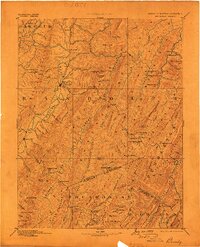
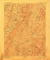
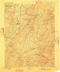
Other maps of this area

1886 · St. George
USGS Topo · 1:125,000

1889 · Beverly
USGS Topo · 1:125,000

1891 · Huntersville
USGS Topo · 1:125,000

1891 · St. George
USGS Topo · 1:125,000

1892 · Beverly
USGS Topo · 1:125,000

1892 · Franklin
USGS Topo · 1:125,000

1893 · Buckhannon
USGS Topo · 1:125,000

1894 · Huntersville
USGS Topo · 1:125,000

1894 · Staunton
USGS Topo · 1:125,000

1895 · Piedmont
USGS Topo · 1:125,000