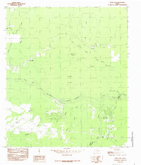
1984 Map of Bevil Oaks
USGS Topo · Published 1985About this map
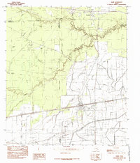
The Big Thicket National Preserve dominates this coastal plain landscape, where dense woodlands meet the intricate drainage systems of the Texas Gulf Coast. Meandering through the center of the sheet, Pine Island Bayou serves as the primary hydrological artery, flanked by a complex network of named gullies and sloughs such as Coon Marsh Gully and Grassy Pond Slough. These water features define the local geography, separating the newer residential development at Bevil Oaks from the older, more dispersed settlements like Bonwell and Pine Ridge. The transition from the protected thicket to open areas like Sour Lake Prairie illustrates the diverse ecology of Jefferson and Hardin Counties. Local landmarks such as Fertitta Lake and Goleman provide specific points of interest for those tracing the development of this humid, forested region.
Find a feature on this map
25 named features on this map. Tap any name to fly to it.
Don’t see what you’re looking for? This feature index may not catch every label — zoom into the map to look around manually.
Map Details
Editions of this 1984 Bevil Oaks Map
2 editions found
Other maps of this area

1932 · Beaumont
USGS Topo · 1:62,500

1954 · Beaumont
USGS Topo · 1:250,000

1955 · Silsbee
USGS Topo · 1:62,500

1955 · Kountze
USGS Topo · 1:62,500

1955 · Sour Lake
USGS Topo · 1:62,500

1957 · Beaumont
USGS Topo · 1:250,000
1960 · Beaumont West
USGS Topo · 1:24,000
1960 · Voth
USGS Topo · 1:24,000

1984 · Beaumont
USGS Topo · 1:250,000
1984 · Nome
USGS Topo · 1:24,000