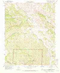
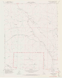
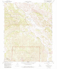
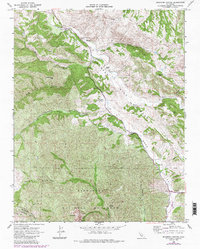
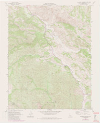
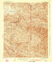
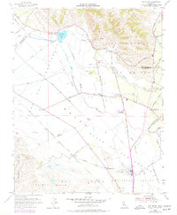
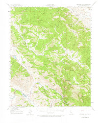
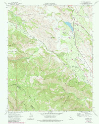
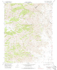
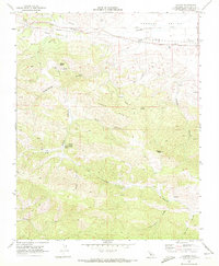
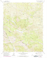
1968 Map of Bickmore Canyon
USGS Topo · Published 1971This historical map portrays the area of Bickmore Canyon in 1968, primarily covering San Benito County as well as portions of Monterey County. Featuring a scale of 1:24000, this map provides a highly detailed snapshot of the terrain, roads, buildings, counties, and historical landmarks in the Bickmore Canyon region at the time. Published in 1971, it is one of 6 known editions of this map due to revisions or reprints.
Find a feature on this map
32 named features on this map. Tap any name to fly to it.
Don’t see what you’re looking for? This feature index may not catch every label — zoom into the map to look around manually.
Map Details
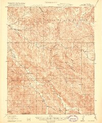
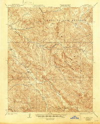
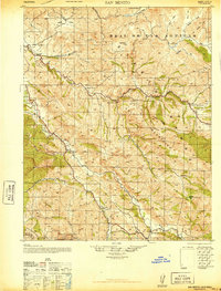
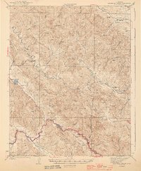
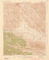
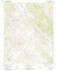
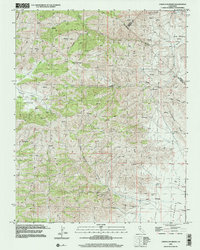
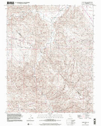
Editions of this 1968 Bickmore Canyon Map
6 editions found
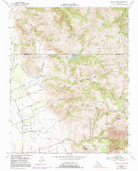
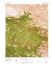
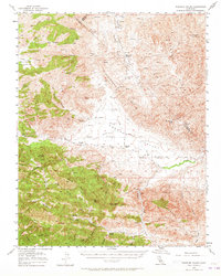
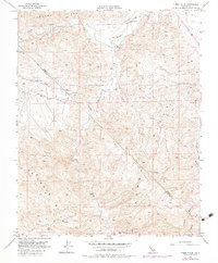
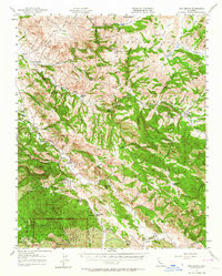
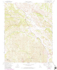
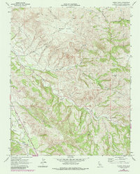
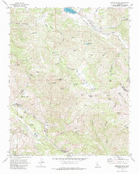
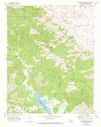
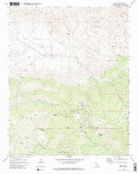
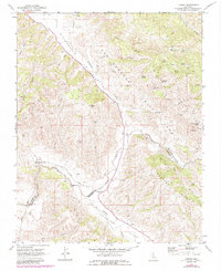
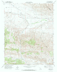
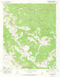
Historical Maps of Pinnacles Through Time
32 maps found
1919 San Benito
San Benito County, CA
1931 San Benito
San Benito County, CA
1940 San Benito
San Benito County, CA

1943 Hernandez Valley
San Benito County, CA
1943 New Idria
San Benito County, CA
1944 Hernandez Valley
San Benito County, CA
1944 Panoche Valley
San Benito County, CA
1954 Three Sisters
San Benito County, CA
1955 San Felipe
San Benito County, CA
1956 New Idria
San Benito County, CA
1956 Panoche Valley
San Benito County, CA
1956 Tumey Hills
San Benito County, CA
1957 Hernandez Valley
San Benito County, CA
1957 San Benito
San Benito County, CA
1968 Bickmore Canyon
San Benito County, CA
1968 Cherry Peak
San Benito County, CA
1968 Paicines
San Benito County, CA
1968 Panoche Pass
San Benito County, CA
1968 Quien Sabe Valley
San Benito County, CA
1968 San Benito
San Benito County, CA
1969 Cerro Colorado
San Benito County, CA
1969 Hepsedam Peak
San Benito County, CA
1969 Hernandez Reservoir
San Benito County, CA
1969 Idria
San Benito County, CA
1969 Llanada
San Benito County, CA
1969 Lonoak
San Benito County, CA
1969 Panoche
San Benito County, CA
1969 Rock Spring Peak
San Benito County, CA
1969 San Benito Mtn
San Benito County, CA
1969 Topo Valley
San Benito County, CA
2000 Cerro Colorado
San Benito County, CA
2000 Tumey Hills
San Benito County, CA