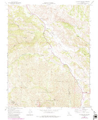
1968 Map of Bickmore Canyon
USGS Topo · Published 1984About this map
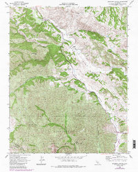
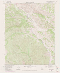
The San Andreas Rift Zone creates a striking diagonal corridor through this terrain, shaping the course of the San Benito River and the narrow valley floors. Near the confluence of the river and Willow Creek, a small pioneer burial ground at Willow Creek Cem and the Melendy Ranch mark the long-standing agricultural presence in the canyon. To the south, the dramatic geologic formations of Pinnacles National Monument dominate the landscape, including the jagged Balconies and the descent into Bear Valley. This survey captures the rural infrastructure of the late 1960s, documenting local landmarks like the Bear Valley Fire Control Sta and a remote Landing Strip, alongside family holdings such as the Schmidt Ranch and Butts Ranch.
Find a feature on this map
32 named features on this map. Tap any name to fly to it.
Don’t see what you’re looking for? This feature index may not catch every label — zoom into the map to look around manually.
Map Details
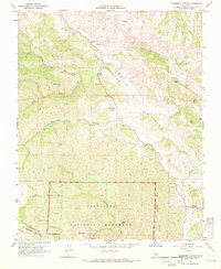
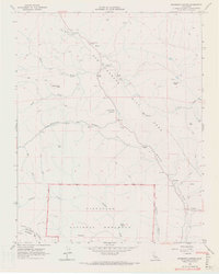
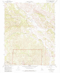
Editions of this 1968 Bickmore Canyon Map
6 editions found
Other maps of this area

1915 · Soledad
USGS Topo · 1:62,500

1919 · San Benito
USGS Topo · 1:62,500

1921 · Gonzales
USGS Topo · 1:62,500

1921 · Metz
USGS Topo · 1:62,500

1931 · San Benito
USGS Topo · 1:62,500

1940 · Metz
USGS Topo · 1:62,500

1940 · Soledad
USGS Topo · 1:62,500

1940 · San Benito
USGS Topo · 1:62,500
1940 · Gonzales
USGS Topo · 1:62,500
1941 · Gonzales
USGS Topo · 1:62,500