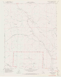
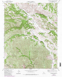
1968 Map of Bickmore Canyon
USGS Topo · Published 1971About this map
The San Andreas Rift Zone dominates the geological character of this San Benito County landscape, carving a distinct corridor through the terrain where the San Benito River flows. This late 1960s survey documents a region of large cattle operations and remote outposts, including Melendy Ranch, Schmidt Ranch, and Butts Ranch. The southern portion of the map reveals the northern boundary of Pinnacles National Monument, highlighting landmarks like Balconies and the rugged drainage of Chalone Creek.
Find a feature on this map
31 named features on this map. Tap any name to fly to it.
Don’t see what you’re looking for? This feature index may not catch every label — zoom into the map to look around manually.
Map Details
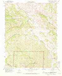
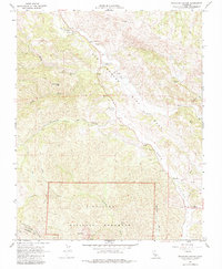
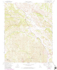
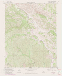
Editions of this 1968 Bickmore Canyon Map
6 editions found
Other maps of this area

1915 · Soledad
USGS Topo · 1:62,500

1919 · San Benito
USGS Topo · 1:62,500

1921 · Gonzales
USGS Topo · 1:62,500

1921 · Metz
USGS Topo · 1:62,500

1931 · San Benito
USGS Topo · 1:62,500

1940 · Metz
USGS Topo · 1:62,500

1940 · Soledad
USGS Topo · 1:62,500

1940 · San Benito
USGS Topo · 1:62,500
1940 · Gonzales
USGS Topo · 1:62,500
1941 · Gonzales
USGS Topo · 1:62,500