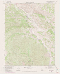
1968 Map of Bickmore Canyon
USGS Topo · Published 1984About this map
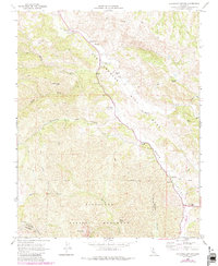
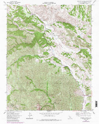
The San Andreas Rift Zone creates a stark geological path through this portion of the Gabilan Range, following the course of the San Benito River northwestward. In this rugged terrain of central California, the map documents the northern reaches of Pinnacles National Monument, including the Balconies and the dramatic rock formations simply labeled Pinnacles. The landscape is a mix of protected wilderness and established pastoral operations, with several prominent homesteads such as Melendy Ranch, Schmidt Ranch, and Butts Ranch situated along the valley floors and drainage basins. Technical details of the era are present through features like the Bear Valley Fire Control Sta, a Landing Strip in Bear Valley, and multiple Gaging Stations along the river, reflecting the region's management of both fire and water resources during the late 1960s.
Find a feature on this map
31 named features on this map. Tap any name to fly to it.
Don’t see what you’re looking for? This feature index may not catch every label — zoom into the map to look around manually.
Map Details
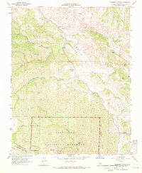
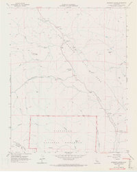
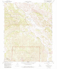
Editions of this 1968 Bickmore Canyon Map
6 editions found
Other maps of this area

1915 · Soledad
USGS Topo · 1:62,500

1919 · San Benito
USGS Topo · 1:62,500

1921 · Gonzales
USGS Topo · 1:62,500

1921 · Metz
USGS Topo · 1:62,500

1931 · San Benito
USGS Topo · 1:62,500

1940 · Metz
USGS Topo · 1:62,500

1940 · Soledad
USGS Topo · 1:62,500

1940 · San Benito
USGS Topo · 1:62,500
1940 · Gonzales
USGS Topo · 1:62,500
1941 · Gonzales
USGS Topo · 1:62,500