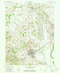
1958 Map of Bicknell
USGS Topo · Published 1981About this map
Bicknell serves as the central hub of this late 1950s landscape, characterized by the intersection of traditional agriculture and industrial activity. To the north and south, the towns of Freelandville and Edwardsport anchor the rural landscape, while the smaller settlement of Johnstown sits just west of the main city center. The economy of the era is clearly visible through the presence of a Strip Mine and the complex infrastructure supporting it, including an Old Railroad Grade and the Conrail lines that crisscross the terrain.
Find a feature on this map
30 named features on this map. Tap any name to fly to it.
Don’t see what you’re looking for? This feature index may not catch every label — zoom into the map to look around manually.
Map Details
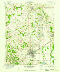
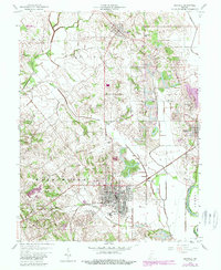
Editions of this 1958 Bicknell Map
3 editions found
Other maps of this area

1942 · Fritchton
USGS Topo · 1:24,000

1943 · Carlisle
USGS Topo · 1:24,000

1943 · Oaktown
USGS Topo · 1:24,000

1943 · Sandborn
USGS Topo · 1:24,000

1943 · Bicknell
USGS Topo · 1:24,000

1943 · Plainville
USGS Topo · 1:24,000

1944 · Bucktown
USGS Topo · 1:24,000

1944 · Fritchton
USGS Topo · 1:24,000

1944 · Washington
USGS Topo · 1:24,000

1944 · Wheatland
USGS Topo · 1:24,000