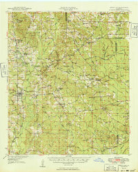
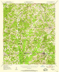
1949 Map of Bienville
USGS Topo · Published 1949About this map
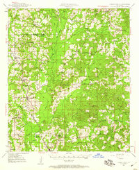
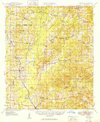
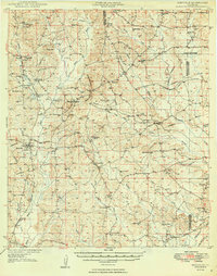
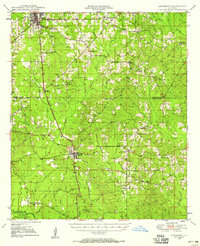
Driskill Mountain rises as a prominent landmark in this upland parish landscape, providing a high-ground anchor for a network of rural communities at the close of the 1940s. The settlement at Bienville serves as a local hub, situated where the Louisiana and North West Railroad cuts through the terrain. The map reveals a social fabric deeply rooted in faith and education, evidenced by the high density of combination church and school sites such as Mt Calm Sch Ch and Fellowship Sch Ch.
Find a feature on this map
80 named features on this map. Tap any name to fly to it.
Don’t see what you’re looking for? This feature index may not catch every label — zoom into the map to look around manually.
Map Details
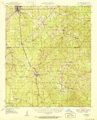
Editions of this 1949 Bienville Map
2 editions found
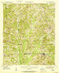
Other maps of this area
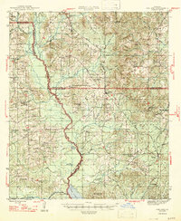
1947 · Goldonna
USGS Topo · 1:62,500
1947 · Ashland
USGS Topo · 1:62,500
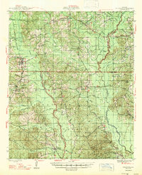
1947 · Bienville
USGS Topo · 1:62,500
1948 · Jamestown
USGS Topo · 1:62,500
1949 · Jamestown
USGS Topo · 1:62,500
1949 · Bienville
USGS Topo · 1:62,500
1949 · Jonesboro
USGS Topo · 1:62,500
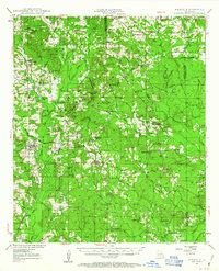
1949 · Gibsland
USGS Topo · 1:62,500
1950 · Jonesboro
USGS Topo · 1:62,500
1950 · Gibsland
USGS Topo · 1:62,500