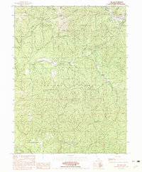
1982 Map of Big Bar
USGS Topo · Published 1982About this map
Trinity River canyons and the steep ridgelines of the Trinity National Forest dominate this 1982 survey of the Trinity Alps region. The small settlement of Big Bar sits on a bend in the river, accompanied by a Trailer Park and a local Cem, marking a rare pocket of habitation amidst the vertical terrain. High-elevation landmarks like Pattison Peak, Monument Peak, and Eagle Rock define the horizon, while the drainage network includes Hayfork Creek and Hayshed Creek. The map documents the resource-based character of the era, from a small Prospect to the Multiple Wood Pole Trans Line cutting through the forest. Low-lying areas like Corral Bottom and Haypress Meadow offer a glimpse into the localized geography used by packers and foresters before the expansion of more modern infrastructure.
Find a feature on this map
29 named features on this map. Tap any name to fly to it.
Don’t see what you’re looking for? This feature index may not catch every label — zoom into the map to look around manually.
Map Details
Editions of this 1982 Big Bar Map
2 editions found
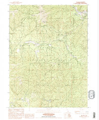
Other maps of this area

1909 · Big Bar
USGS Topo · 1:96,000

1915 · Big Bar and Vicinity
USGS Topo · 1:250,000

1951 · Hayfork
USGS Topo · 1:62,500

1951 · Helena
USGS Topo · 1:62,500

1951 · Hyampom
USGS Topo · 1:62,500

1951 · Ironside Mountain
USGS Topo · 1:62,500

1958 · Redding
USGS Topo · 1:250,000

1982 · Helena
USGS Topo · 1:24,000
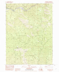
1982 · Hayfork Bally
USGS Topo · 1:24,000
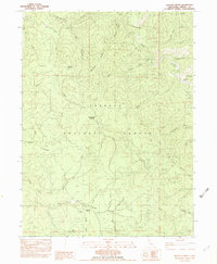
1982 · Halfway Ridge
USGS Topo · 1:24,000