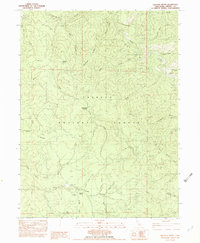
1982 Map of Halfway Ridge
USGS Topo · Published 1982About this map
Indian Valley and the surrounding high country of the Trinity National Forest define this landscape as it was documented in the mid-1970s and 1982. The map reveals a remote network of trails and springs, highlighting the vital water sources required for forest management and local travel, such as Sheep Camp Springs and Sardine Spring. Evidence of small-scale resource extraction appears near the valley floor, including a Mine and Gravel Pit located along Indian Valley Creek.
Find a feature on this map
41 named features on this map. Tap any name to fly to it.
Don’t see what you’re looking for? This feature index may not catch every label — zoom into the map to look around manually.
Map Details
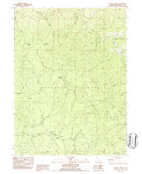
Editions of this 1982 Halfway Ridge Map
2 editions found
Other maps of this area

1909 · Big Bar
USGS Topo · 1:96,000

1915 · Big Bar and Vicinity
USGS Topo · 1:250,000

1918 · Anada
USGS Topo · 1:62,500

1931 · Hoaglin
USGS Topo · 1:96,000

1935 · Hoaglin
USGS Topo · 1:125,000

1951 · Hayfork
USGS Topo · 1:62,500

1951 · Hyampom
USGS Topo · 1:62,500

1954 · Pickett Peak
USGS Topo · 1:62,500

1954 · Dubakella Mtn
USGS Topo · 1:62,500

1958 · Redding
USGS Topo · 1:250,000