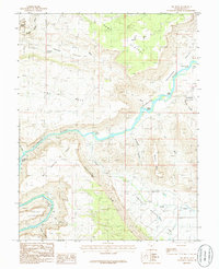
1985 Map of Big Bend
USGS Topo · Published 1986About this map
Arches National Park dominates the northwest corner of this 1985 survey, capturing the iconic Delicate Arch overlooking the canyon system. The Colorado River carves a winding path through the center of the quadrangle, punctuated by several named whitewater features including Whites Rapids, Rocky Rapids, and New Rapids. The landscape is defined by its dramatic elevation changes, moving from the riverbed up to the sprawling Dome Plateau and the sheer walls of Parriott Mesa.
Find a feature on this map
31 named features on this map. Tap any name to fly to it.
Don’t see what you’re looking for? This feature index may not catch every label — zoom into the map to look around manually.
Map Details
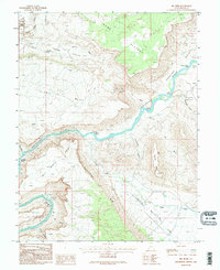
Editions of this 1985 Big Bend Map
2 editions found
Other maps of this area

1885 · La Sal
USGS Topo · 1:250,000

1954 · Mt. Waas 3 NE
USGS Topo · 1:24,000

1954 · Mt. Waas 3 SE
USGS Topo · 1:24,000

1954 · Mt. Waas 3 NW
USGS Topo · 1:24,000

1954 · Mt. Waas 3 SW
USGS Topo · 1:24,000

1954 · Castle Valley
USGS Topo · 1:62,500

1955 · Mt. Waas 2 SE
USGS Topo · 1:24,000

1956 · Moab
USGS Topo · 1:250,000

1958 · Thompson
USGS Topo · 1:62,500

1958 · Cisco
USGS Topo · 1:62,500