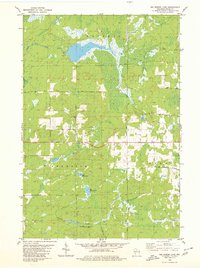
1979 Map of Big Briens Lake
USGS Topo · Published 1980About this map
Big Briens Lake and its smaller companion, Little Briens Lake, anchor this corner of Price County in the late 1970s. The landscape is defined by the wetlands and winding courses of the South Fork Jump River to the north and the convergence of Douglas Creek and Knox Creek to the south. This area sits at the intersection of the townships of Hackett, Prentice, and Knox, where a grid of rural routes provides access to isolated homesteads and several Gravel Pits. Local history is embedded in the road names, from the utilitarian Mail Route Road and Chicago Avenue to the family-derived Nyberg Hill Road and Goetzke Road. The map reveals a transition from dense woodland and marshes to cleared fields, marked by fine red dashed lines that delineate the fence and field boundaries of the era's working farmsteads.
Find a feature on this map
21 named features on this map. Tap any name to fly to it.
Don’t see what you’re looking for? This feature index may not catch every label — zoom into the map to look around manually.
Map Details
Editions of this 1979 Big Briens Lake Map
2 editions found
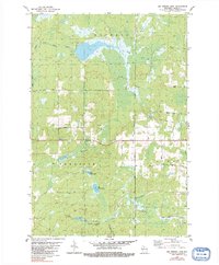
Other maps of this area

1941 · Phillips
USGS Topo · 1:48,000

1941 · Brantwood
USGS Topo · 1:48,000

1943 · Philliips
USGS Topo · 1:48,000

1943 · Brantwood
USGS Topo · 1:48,000

1944 · Ogema
USGS Topo · 1:48,000

1945 · Rib Lake
USGS Topo · 1:48,000

1947 · Rib Lake
USGS Topo · 1:48,000

1947 · Ogema
USGS Topo · 1:48,000

1949 · Ogema
USGS Topo · 1:48,000

1949 · Rib Lake
USGS Topo · 1:48,000